Loading...
Loading map...2022 Map of Hamilton
USGS Topo · Published 2022About this map
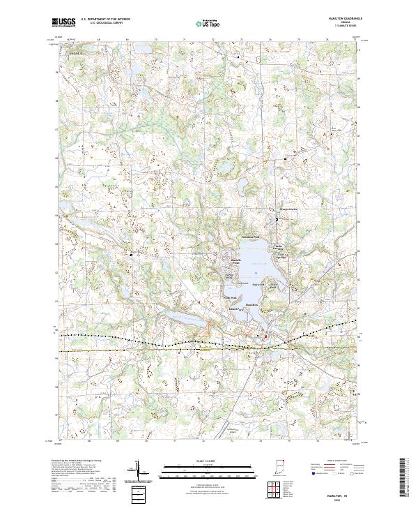
Hamilton Lake serves as the central focal point of this northeast Indiana landscape, its shoreline dense with established lakeside communities. Settlements such as Hamilton, Oakwood, and Forest Park ring the water, while smaller points like Russells Point and Clarks Landing define the lake's southern reaches. This modern survey reflects the area's transition into a recreational and residential hub, contrasting with the agricultural grid that surrounds it.
Find a feature on this map
111 named features on this map. Tap any name to fly to it.
Don’t see what you’re looking for? This feature index may not catch every label — zoom into the map to look around manually.
Map Details
Date Portrayed2022
Date Published2022
PublisherU.S. Geological Survey
Map TypeTopographic
Scale1:24000
Physical Dimensions24 x 29 inches
Editions of this 2022 Hamilton Map
This is the sole edition of this map. No revisions or reprints were ever made.
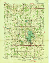
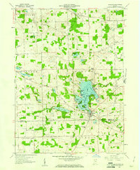
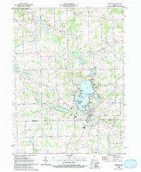
Historical Maps of Ravinia Oaks Through Time
5 maps found

Featured Locations
Source Details
SourceU.S. Geological Survey
CopyrightPublic Domain