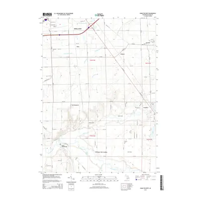
2014 Map of Hamilton West
USGS Topo · Published 2014About this map
Holland and its southern agricultural hinterlands define this 2014 survey, where the landscape transitions from the developed outskirts of the Tulip City Airport into the river valleys of the Kalamazoo River and Rabbit River. The map highlights a series of small, dispersed settlements including East Saugatuck, Hamilton, and Fillmore, each anchored by historical infrastructure and local cemeteries. A particularly notable feature is the Old Squaw Skin Landing located along a bend in the Kalamazoo River near Big Dailey Bayou, suggesting the importance of the river for early navigation and commerce.
Find a feature on this map
59 named features on this map. Tap any name to fly to it.
Don’t see what you’re looking for? This feature index may not catch every label — zoom into the map to look around manually.
Map Details
Editions of this 2014 Hamilton West Map
This is the sole edition of this map. No revisions or reprints were ever made.
Other maps of this area

1928 · Fennville
USGS Topo · 1:62,500

1929 · Holland
USGS Topo · 1:62,500

1931 · Fennville
USGS Topo · 1:62,500

1932 · Holland
USGS Topo · 1:62,500

1958 · Allegan
USGS Topo · 1:62,500

1958 · Grandville
USGS Topo · 1:62,500

1958 · Racine
USGS Topo · 1:250,000

1958 · Grand Rapids
USGS Topo · 1:250,000

1961 · Grand Rapids
USGS Topo · 1:250,000

1962 · Grand Rapids
USGS Topo · 1:250,000