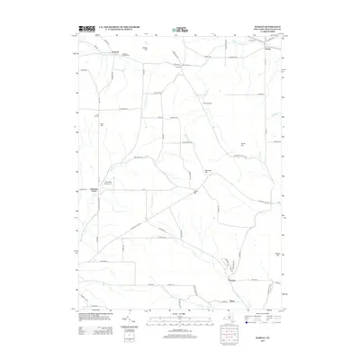
2013 Map of Hamlet
USGS Topo · Published 2013About this map
Charlotte Center and Hamlet anchor this section of Chautauqua County, where the topography is defined by the high ground of Boutwell Hill and Luce Hill. This landscape is marked by its agricultural and local aviation history, featuring the Spaudling Aerodrome and dairy operations like Mansfield Dairy. The network of creeks, including the W Br Conewango Cr and Clear Cr, dictates the placement of early settlements and road crossings at Town Corners and Thornton. For those studying local lineages, the map identifies several burial grounds including Burnham Hollow Cem, Hamlet Cem, and Luce Hill Cem. The inclusion of the Overland Trl suggests a terrain that balances rural infrastructure with established recreational paths through the hills and valleys of western New York.
Find a feature on this map
72 named features on this map. Tap any name to fly to it.
Don’t see what you’re looking for? This feature index may not catch every label — zoom into the map to look around manually.
Map Details
Editions of this 2013 Hamlet Map
This is the sole edition of this map. No revisions or reprints were ever made.
Other maps of this area

1900 · Dunkirk
USGS Topo · 1:62,500

1900 · Cherry Creek
USGS Topo · 1:62,500

1904 · Chautaqua
USGS Topo · 1:62,500

1905 · Jamestown
USGS Topo · 1:62,500

1941 · Cherry Creek
USGS Topo · 1:62,500

1941 · Chautauqua
USGS Topo · 1:62,500

1942 · Jamestown
USGS Topo · 1:62,500

1943 · Dunkirk
USGS Topo · 1:62,500
1954 · Kennedy
USGS Topo · 1:24,000

1954 · Ellery Center
USGS Topo · 1:24,000