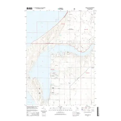
2014 Map of Hamlin Lake
USGS Topo · Published 2014About this map
The complex shoreline of Hamlin Lake dominates this 2014 survey, where the freshwater meets the massive dunes and woodlands of the Manistee National Forest. This landscape is defined by the unique hydrology of the bayous—including North Bayou, Middle Bayou, and S Bayou—which extend into the interior from the main body of water. The geography suggests a historical reliance on these sheltered waters, with the settlement of Weimer situated along the southern reaches and residential development clustered near The Narrows and Indian Pete Bayou.
Find a feature on this map
76 named features on this map. Tap any name to fly to it.
Don’t see what you’re looking for? This feature index may not catch every label — zoom into the map to look around manually.
Map Details
Editions of this 2014 Hamlin Lake Map
This is the sole edition of this map. No revisions or reprints were ever made.
Other maps of this area

1931 · Manistee SE
USGS Topo · 1:31,680

1931 · Manistee SW
USGS Topo · 1:31,680

1932 · Ludington NE
USGS Topo · 1:31,680

1932 · Ludington
USGS Topo · 1:31,680

1954 · Milwaukee
USGS Topo · 1:250,000

1954 · Manitowoc
USGS Topo · 1:250,000

1958 · Manitowoc
USGS Topo · 1:250,000

1958 · Milwaukee
USGS Topo · 1:250,000

1958 · Manistee
USGS Topo · 1:62,500

1959 · Ludington
USGS Topo · 1:62,500