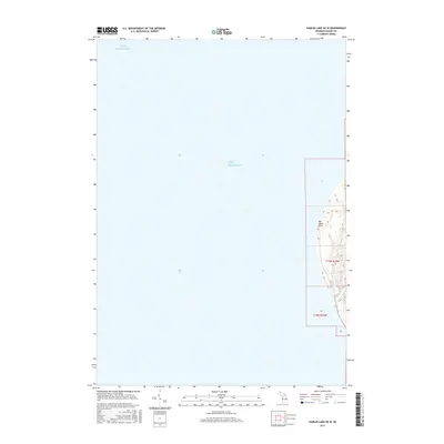
2017 Map of Hamlin Lake OE W
USGS Topo · Published 2017About this map
Big Sable Point defines the narrow strip of Michigan coastline documented in this 2017 survey, where the dunes meet the vast expanse of Lake Michigan. This portion of Mason County showcases the mouth of the Big Sable River as it empties into the lake, a critical geographic marker for maritime and local navigation. The map highlights the sharp transition between the deep waters of the lake and the elevation changes of the coastal terrain, including the township and range lines of t19n r18w that organize the surrounding public lands. The focus here is primarily on the shoreline's physical profile, illustrating the relationship between the river drainage and the prominent point that has long served as a landmark for travelers along the western edge of the Lower Peninsula.
Find a feature on this map
9 named features on this map. Tap any name to fly to it.
Don’t see what you’re looking for? This feature index may not catch every label — zoom into the map to look around manually.
Map Details
Editions of this 2017 Hamlin Lake OE W Map
This is the sole edition of this map. No revisions or reprints were ever made.
Other maps of this area

1931 · Manistee SW
USGS Topo · 1:31,680

1932 · Ludington
USGS Topo · 1:31,680

1954 · Milwaukee
USGS Topo · 1:250,000

1954 · Manitowoc
USGS Topo · 1:250,000

1958 · Manitowoc
USGS Topo · 1:250,000

1958 · Milwaukee
USGS Topo · 1:250,000

1958 · Manistee
USGS Topo · 1:62,500

1959 · Ludington
USGS Topo · 1:62,500
1982 · Hamlin Lake
USGS Topo · 1:25,000
1982 · Manistee NW
USGS Topo · 1:25,000