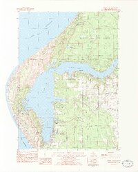
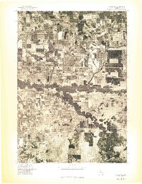
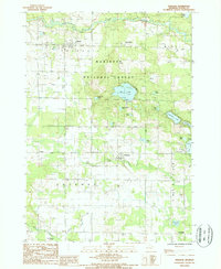
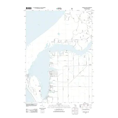
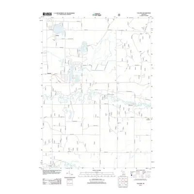
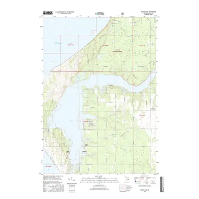
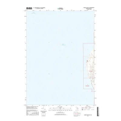
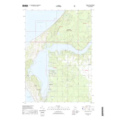
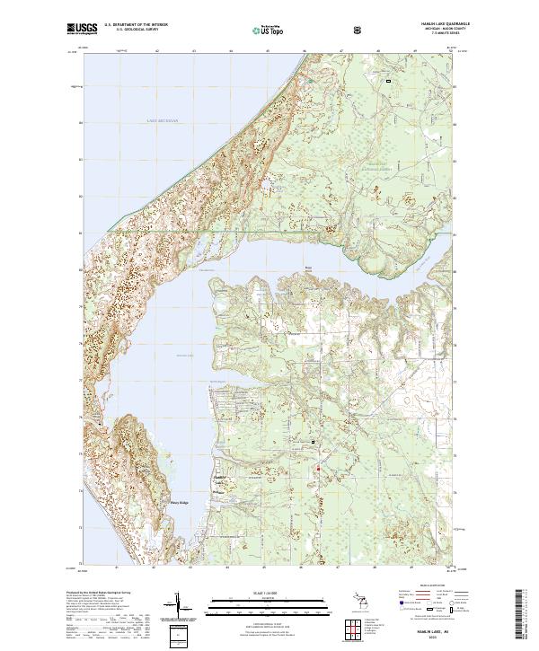
1982 Map of Hamlin Lake
USGS Topo · Published 1983About this map
Big Sable Point and the complex shoreline of Hamlin Lake define this coastal landscape on the edge of Lake Michigan during the early 1980s. The map reveals a land shaped by both recreation and rural industry, where the expansive Nordhouse Dunes Area and Ludington State Park border small established communities. Local history is anchored by Hamlin Village, with its namesake Hamlin Village Cem, and the cluster of activity around Sacred Heart Ch and its cemetery.
Find a feature on this map
52 named features on this map. Tap any name to fly to it.
Don’t see what you’re looking for? This feature index may not catch every label — zoom into the map to look around manually.
Map Details
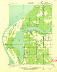
Editions of this 1982 Hamlin Lake Map
2 editions found
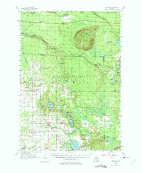
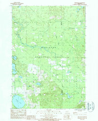
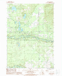
Historical Maps of Hamlin Lake Through Time
46 maps found

1931 Custer NE
Mason County, MI

1931 Custer NW
Mason County, MI

1931 Freesoil SW
Mason County, MI

1931 Manistee SE
Mason County, MI
1931 Manistee SW
Mason County, MI

1932 Freesoil SE
Mason County, MI

1932 Ludington NE
Mason County, MI
1957 Freesoil
Mason County, MI
1976 Custer NE
Mason County, MI
1976 Custer NW
Mason County, MI
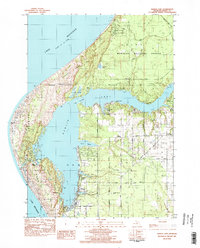
1982 Hamlin Lake
Mason County, MI
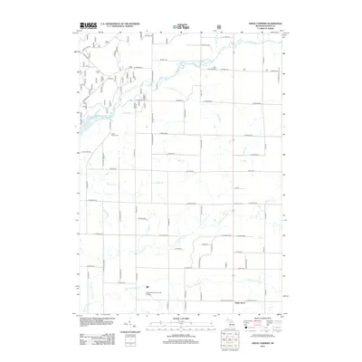
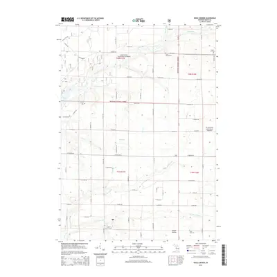
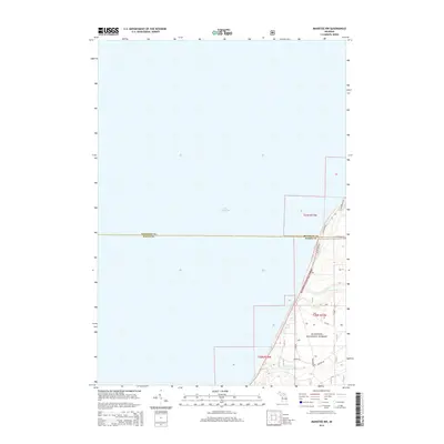
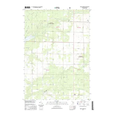
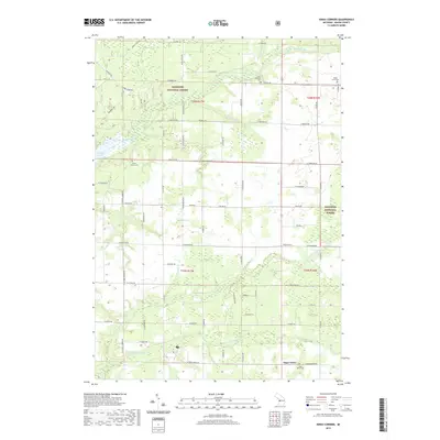
1982 Kings Corners
Mason County, MI
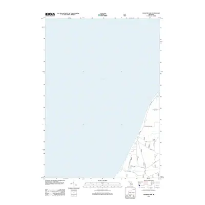
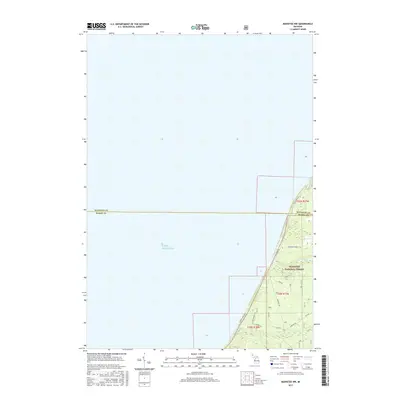
1982 Manistee NW
Mason County, MI
1987 Freesoil
Mason County, MI
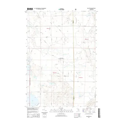
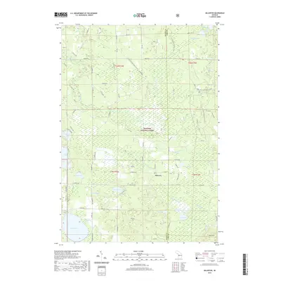
1987 Millerton
Mason County, MI
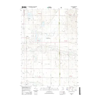
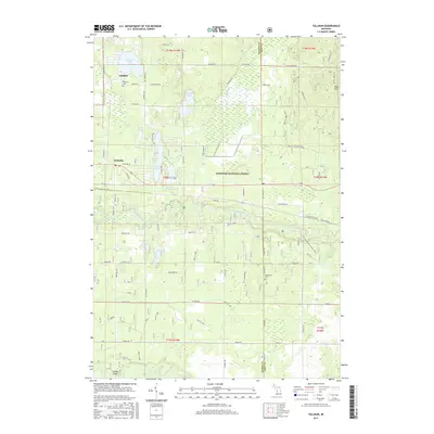
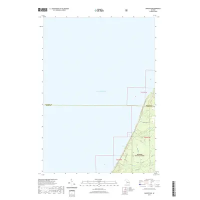
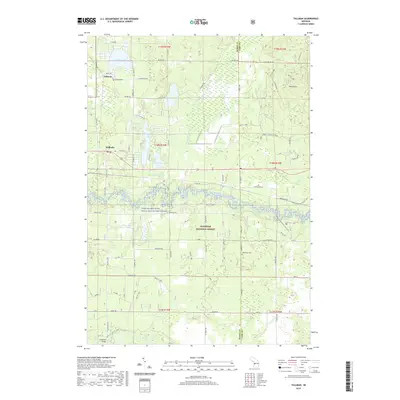
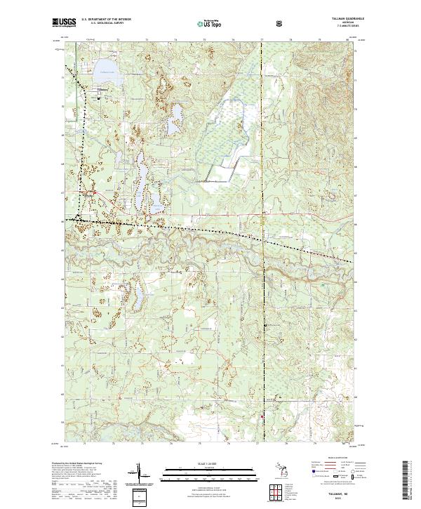
1987 Tallman
Mason County, MI
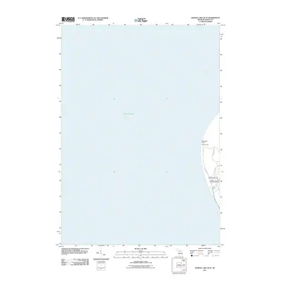
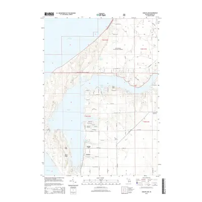
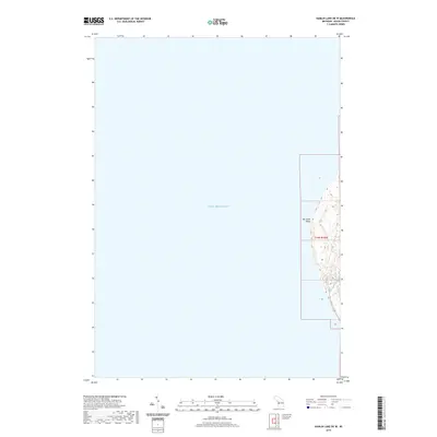
2011 Hamlin Lake OE W
Mason County, MI
2012 Hamlin Lake
Mason County, MI
2012 Kings Corners
Mason County, MI
2012 Manistee NW
Mason County, MI
2012 Millerton
Mason County, MI
2012 Tallman
Mason County, MI
2014 Hamlin Lake
Mason County, MI
2014 Hamlin Lake OE W
Mason County, MI
2014 Kings Corners
Mason County, MI
2014 Manistee NW
Mason County, MI
2014 Millerton
Mason County, MI
2014 Tallman
Mason County, MI
2017 Hamlin Lake
Mason County, MI
2017 Hamlin Lake OE W
Mason County, MI
2017 Kings Corners
Mason County, MI
2017 Manistee NW
Mason County, MI
2017 Millerton
Mason County, MI
2017 Tallman
Mason County, MI
2019 Hamlin Lake
Mason County, MI
2019 Hamlin Lake OE W
Mason County, MI
2019 Kings Corners
Mason County, MI
2019 Manistee NW
Mason County, MI
2019 Millerton
Mason County, MI
2019 Tallman
Mason County, MI
2023 Hamlin Lake
Mason County, MI
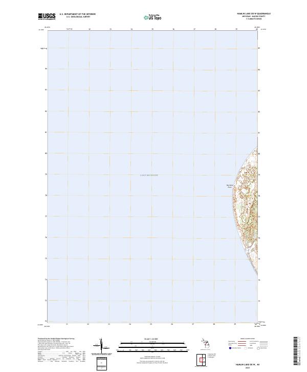
2023 Hamlin Lake OE W
Mason County, MI
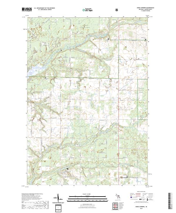
2023 Kings Corners
Mason County, MI
2023 Manistee NW
Mason County, MI
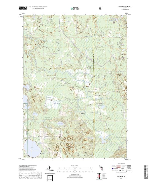
2023 Millerton
Mason County, MI
2023 Tallman
Mason County, MI
Featured Locations
- Victory Township, MI
- Grant Township, MI
- Hamlin Township, MI
- Hamlin Lake, Hamlin Township
- Piney Ridge, Hamlin Township