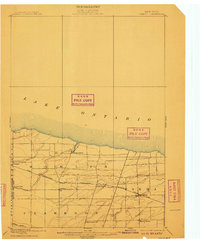
1899 Map of Hamlin
USGS Topo · Published 1910About this map
The south shore of Lake Ontario defines the northern edge of this agricultural and transit corridor in Monroe County at the close of the 19th century. The landscape is dominated by the strategic infrastructure of the Rome Watertown and Ogdensburg (Niagara Falls Line), which cuts westward across the terrain, linking settlements like Hamlin and Hilton. This rail line, coupled with the historic Ridge Road to the south, supported a network of small hamlets and farming communities such as Irish Settlement and Parma Center.
Find a feature on this map
21 named features on this map. Tap any name to fly to it.
Don’t see what you’re looking for? This feature index may not catch every label — zoom into the map to look around manually.
Map Details
Editions of this 1899 Hamlin Map
4 editions found
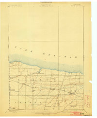
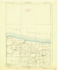
Other maps of this area

1895 · Rochester
USGS Topo · 1:62,500

1895 · Ontario Beach
USGS Topo · 1:62,500

1897 · Albion
USGS Topo · 1:62,500

1897 · Oak Orchard
USGS Topo · 1:62,500

1898 · Rochester
USGS Topo · 1:62,500

1899 · Hamlin
USGS Topo · 1:62,500

1899 · Ontario Beach
USGS Topo · 1:62,500

1899 · Brockport
USGS Topo · 1:62,500

1912 · Rochester
USGS Topo · 1:62,500

1912 · Ontario Beach
USGS Topo · 1:62,500