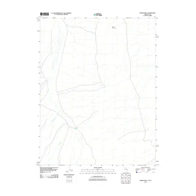
2011 Map of Hamlin Well
USGS Topo · Published 2011About this map
Hamlin Well serves as a central landmark in this high-desert landscape spanning the Nevada-Utah border. The terrain is defined by the prominent Miller Mountain in the north, which anchors a network of seasonal watercourses. Several drainages, including Wood-McCullough Creek, Miller Creek, and Cobb Creek, illustrate the natural irrigation patterns of this arid basin as it appeared in the early 21st century. The map reveals a sparse network of roads and trails typical of the Great Basin's ranching or grazing lands, where reliable water sources like wells often determined the location of human activity and resource management. This edition provides a precise look at the land's hydrology and topography before further modern developments or changes in regional land use.
Find a feature on this map
5 named features on this map. Tap any name to fly to it.
Don’t see what you’re looking for? This feature index may not catch every label — zoom into the map to look around manually.
Map Details
Editions of this 2011 Hamlin Well Map
This is the sole edition of this map. No revisions or reprints were ever made.
Other maps of this area

1953 · Richfield
USGS Topo · 1:250,000

1956 · Lund
USGS Topo · 1:250,000

1958 · Richfield
USGS Topo · 1:250,000

1960 · Lund
USGS Topo · 1:250,000

1971 · Mountain Home Pass
USGS Topo · 1:24,000

1972 · Gleason Basin
USGS Topo · 1:24,000

1972 · Rosencrans Knolls
USGS Topo · 1:24,000

1972 · Hamlin Well
USGS Topo · 1:24,000

1972 · Miller Wash
USGS Topo · 1:24,000

1972 · Hyde Well
USGS Topo · 1:24,000