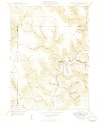
1948 Map of Hammersley Fork
USGS Topo · Published 1948About this map
Kettle Creek winds through the heart of the Leidy and East Keating townships, defining a narrow valley landscape shaped by intricate drainage systems. In the post-war years, this area served as a focal point for small rural communities and mountain homesteads. The small settlement of Hammersley Fork sits at the confluence of its namesake tributary, while further downstream, the village of Leidy serves as a local hub. Family history is etched into the terrain through numerous dedicated burial grounds, including McCoy Cem, Calhoun Cem, and Summerson Cem.
Find a feature on this map
75 named features on this map. Tap any name to fly to it.
Don’t see what you’re looking for? This feature index may not catch every label — zoom into the map to look around manually.
Map Details
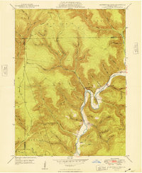
Editions of this 1948 Hammersley Fork Map
2 editions found
Other maps of this area

1945 · Driftwood
USGS Topo · 1:48,000

1945 · First Fork
USGS Topo · 1:24,000

1945 · Sinnemahoning
USGS Topo · 1:24,000

1946 · Renovo West
USGS Topo · 1:62,500

1946 · Hammersley Fork
USGS Topo · 1:24,000

1946 · Keating
USGS Topo · 1:24,000

1946 · Tamarack
USGS Topo · 1:24,000

1946 · Renovo West
USGS Topo · 1:24,000

1947 · First Fork
USGS Topo · 1:24,000

1947 · Sinnemahoning
USGS Topo · 1:24,000
Featured Places
- Leidy Township, PA
- Wharton Township, PA
- East Keating Township, PA
- Grove Township, PA
- Hammersley Fork, Leidy Township