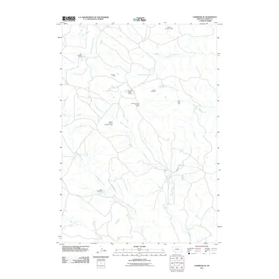
2011 Map of Hammond SE
USGS Topo · Published 2011About this map
The high plains of Carter County are defined by a network of drainage forks and livestock-oriented water management infrastructure. This landscape is dominated by the seasonal paths of North Fork Willow Creek, Middle Fork Willow Creek, and South Fork Willow Creek, which converge to support the regional ranching economy. The map identifies numerous named water retention structures such as Cochran Dam, Lemon Hart Dam, and The Pinta Dam, reflecting the critical importance of water conservation in this arid environment. Transportation is limited to a few established routes including Ridge RD and Larson RD, while the Lanning Ranch Airport provides an essential aerial link for this isolated corner of Montana. Family names are etched into the land through features like the Edward Lanning Number 1 Dam and Edward Lanning Number 2 Dam, illustrating the historical footprint of individual ranching operations on the local hydrology.
Find a feature on this map
17 named features on this map. Tap any name to fly to it.
Don’t see what you’re looking for? This feature index may not catch every label — zoom into the map to look around manually.
Map Details
Editions of this 2011 Hammond SE Map
This is the sole edition of this map. No revisions or reprints were ever made.
Other maps of this area

1905 · Devils Tower
USGS Topo · 1:125,000

1954 · Ekalaka
USGS Topo · 1:250,000

1954 · Gillette
USGS Topo · 1:250,000

1955 · Gillette
USGS Topo · 1:250,000

1956 · Ekalaka
USGS Topo · 1:250,000

1957 · Seely
USGS Topo · 1:62,500

1957 · Cedar Ridge
USGS Topo · 1:62,500

1958 · Gillette
USGS Topo · 1:250,000

1958 · Ekalaka
USGS Topo · 1:250,000

1962 · Gillette
USGS Topo · 1:250,000