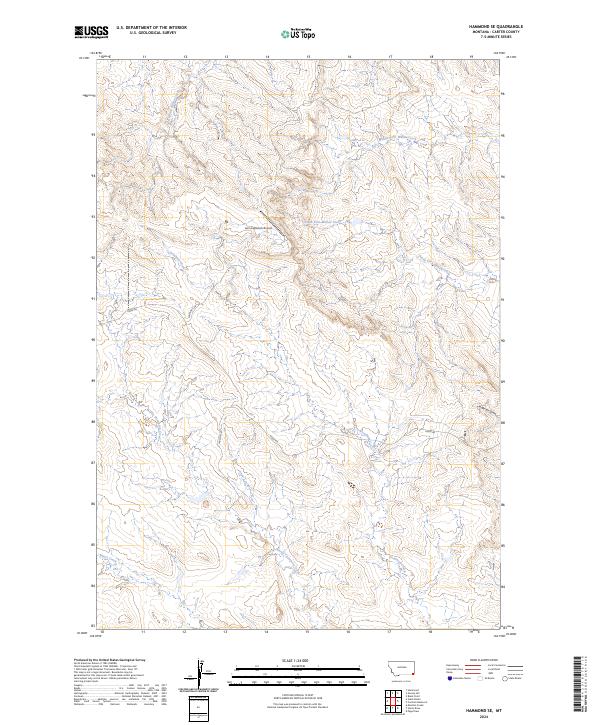
2024 Map of Hammond SE
USGS Topo · Published 2024About this map
Lanning Ranch Airport serves as a distinct landmark in this expansive reach of Carter County, where high-altitude ranching and aviation intersect. The drainage systems of the North Fork Willow Creek, Middle Fork Willow Creek, and South Fork Willow Creek define the local topography, carving out a network of draws and ridges. Named routes such as Lanning's Rd and Larson's Rd provide access to remote properties, reflecting a landscape where family ranching operations have long dictated the local geography. Further south, Deadman Creek and North Thompson Creek flow through the terrain, while Ridge Rd follows the high ground. The survey illustrates the persistence of rural infrastructure and traditional land use in a region characterized by its watercourses and long-established ranching access points like Torgerson Draw.
Find a feature on this map
15 named features on this map. Tap any name to fly to it.
Don’t see what you’re looking for? This feature index may not catch every label — zoom into the map to look around manually.
Map Details
Editions of this 2024 Hammond SE Map
This is the sole edition of this map. No revisions or reprints were ever made.
Other maps of this area

1905 · Devils Tower
USGS Topo · 1:125,000

1954 · Ekalaka
USGS Topo · 1:250,000

1954 · Gillette
USGS Topo · 1:250,000

1955 · Gillette
USGS Topo · 1:250,000

1956 · Ekalaka
USGS Topo · 1:250,000

1957 · Seely
USGS Topo · 1:62,500

1957 · Cedar Ridge
USGS Topo · 1:62,500

1958 · Gillette
USGS Topo · 1:250,000

1958 · Ekalaka
USGS Topo · 1:250,000

1962 · Gillette
USGS Topo · 1:250,000