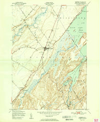
1951 Map of Hammond
USGS Topo · Published 1951About this map
Black Lake dominates the eastern half of this landscape, its intricate shoreline defined by Lonesome Bay and Mile Arm Bay. The village of Hammond serves as the central hub, situated along the New York Central railroad line that cuts diagonally across the terrain. To the south, the settlement of Rossie sits near the confluence of the Indian River and Grass River, highlighting the region's historical reliance on these waterways for transport and early industry. The map reveals a post-war rural infrastructure where aviation at the Hammond Airport exists alongside older burial grounds like Fineview Cemetery and Black Lake Cemetery. This era shows a transition in mobility, with established rail stops like Oakvale Station still in place while the road network begins to integrate outlying hamlets such as North Hammond and South Hammond more closely with the town center.
Find a feature on this map
28 named features on this map. Tap any name to fly to it.
Don’t see what you’re looking for? This feature index may not catch every label — zoom into the map to look around manually.
Map Details
Editions of this 1951 Hammond Map
2 editions found
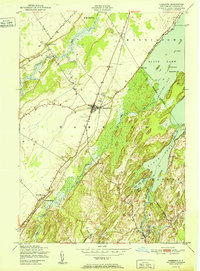
Other maps of this area

1903 · Alexandria Bay
USGS Topo · 1:62,500

1906 · Brier Hill
USGS Topo · 1:62,500

1912 · Hammond
USGS Topo · 1:62,500

1942 · Morristown
USGS Topo · 1:24,000

1943 · Morristown
USGS Topo · 1:31,680

1943 · Redwood
USGS Topo · 1:31,680

1943 · Edwardsville
USGS Topo · 1:31,680

1944 · Hammond
USGS Topo · 1:62,500

1948 · Chippewa Bay
USGS Topo · 1:24,000

1948 · Alexandria Bay
USGS Topo · 1:62,500