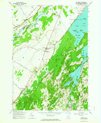
1961 Map of Hammond
USGS Topo · Published 1964About this map
Black Lake dominates the eastern half of this 1961 revision, its waters dotted with numerous islands such as Apple Island and Bullhead Island. The landscape reflects a traditional North Country economy of scattered farmsteads and small crossroads settlements, with Hammond serving as a central hub. The village layout is clearly defined, featuring the Central Sch and Hammond Cem, while outlying communities like Oakvale and Rossie anchor the southern reaches along the Indian River.
Find a feature on this map
56 named features on this map. Tap any name to fly to it.
Don’t see what you’re looking for? This feature index may not catch every label — zoom into the map to look around manually.
Map Details
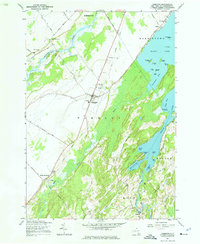
Editions of this 1961 Hammond Map
2 editions found
Other maps of this area

1903 · Alexandria Bay
USGS Topo · 1:62,500

1906 · Brier Hill
USGS Topo · 1:62,500

1912 · Hammond
USGS Topo · 1:62,500

1942 · Morristown
USGS Topo · 1:24,000

1943 · Morristown
USGS Topo · 1:31,680

1943 · Redwood
USGS Topo · 1:31,680

1943 · Edwardsville
USGS Topo · 1:31,680

1944 · Hammond
USGS Topo · 1:62,500

1948 · Chippewa Bay
USGS Topo · 1:24,000

1948 · Alexandria Bay
USGS Topo · 1:62,500