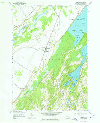
1961 Map of Hammond
USGS Topo · Published 1976About this map
Black Lake and its intricate shoreline of bays and islands dominate the eastern portion of this map, reflecting the water-rich landscape of St. Lawrence County. The village of Hammond serves as the central hub, situated along the New York Central Railroad corridor. This rail line provided a critical transportation link for the small agrarian and riverside settlements of the early 1960s, including North Hammond, South Hammond, and the hamlet of Oakvale. To the south, the Indian River winds through Rossie, where the terrain transitions toward the neighboring Grass Creek drainage. For the genealogist, the map preserves the locations of several burial grounds, such as Pleasant Valley Cem, Fineview Cem, and Rarick Cem, alongside the Central Sch, marking the community foundations of the mid-20th century before significant modern development altered the rural character of the region.
Find a feature on this map
56 named features on this map. Tap any name to fly to it.
Don’t see what you’re looking for? This feature index may not catch every label — zoom into the map to look around manually.
Map Details
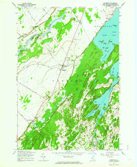
Editions of this 1961 Hammond Map
2 editions found
Other maps of this area

1903 · Alexandria Bay
USGS Topo · 1:62,500

1906 · Brier Hill
USGS Topo · 1:62,500

1912 · Hammond
USGS Topo · 1:62,500

1942 · Morristown
USGS Topo · 1:24,000

1943 · Morristown
USGS Topo · 1:31,680

1943 · Redwood
USGS Topo · 1:31,680

1943 · Edwardsville
USGS Topo · 1:31,680

1944 · Hammond
USGS Topo · 1:62,500

1948 · Chippewa Bay
USGS Topo · 1:24,000

1948 · Alexandria Bay
USGS Topo · 1:62,500