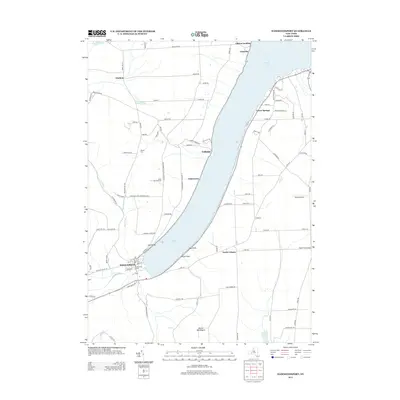
2013 Map of Hammondsport
USGS Topo · Published 2013About this map
Hammondsport anchors the southern tip of the Y-shaped Keuka Lake, serving as a central hub where the Keuka Inlet meets the water. This 2013 survey illustrates the enduring agricultural and viticultural character of the region, specifically noting the location of Bully Hill Vineyards on the western slopes above the lake. The terrain is defined by steep ridges and deep ravines like Urbana Gulch, rising from the shoreline toward prominent heights such as Mount Washington.
Find a feature on this map
93 named features on this map. Tap any name to fly to it.
Don’t see what you’re looking for? This feature index may not catch every label — zoom into the map to look around manually.
Map Details
Editions of this 2013 Hammondsport Map
This is the sole edition of this map. No revisions or reprints were ever made.
Other maps of this area

1900 · Naples
USGS Topo · 1:62,500

1903 · Naples
USGS Topo · 1:62,500

1903 · Penn Yan
USGS Topo · 1:62,500

1903 · Hammondsport
USGS Topo · 1:62,500

1910 · Bath
USGS Topo · 1:62,500

1913 · Naples
USGS Topo · 1:62,500

1942 · Prattsburg
USGS Topo · 1:31,680

1942 · Pulteney
USGS Topo · 1:31,680

1942 · Keuka Park
USGS Topo · 1:24,000

1943 · Keuka Lake
USGS Topo · 1:31,680