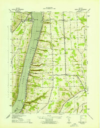
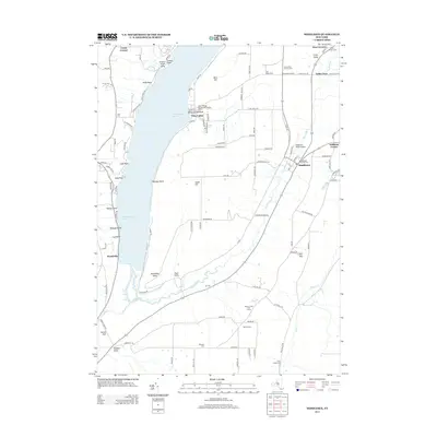
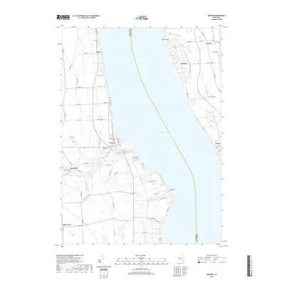
1943 Map of Keuka Lake
USGS Topo · Published 1943About this map
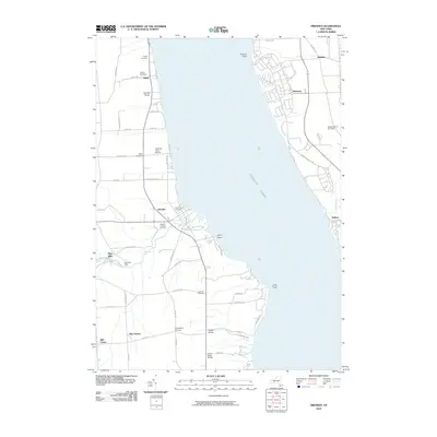
Keuka Lake dominates this mid-century survey, its western shoreline marked by the prominent peninsula of Bluff Point. Along the eastern bank, the campus of Keuka College and the adjacent community of Keuka Park serve as central landmarks, while the surrounding hills of Barrington and Milo are characterized by a network of rural schoolhouses and small crossroads. The landscape transitions from the waterfront at Willow Grove and Eggleston Pt to the upland agricultural plateaus where sites like Second Milo and Porter Corner are situated.
Find a feature on this map
36 named features on this map. Tap any name to fly to it.
Don’t see what you’re looking for? This feature index may not catch every label — zoom into the map to look around manually.
Map Details
Editions of this 1943 Keuka Lake Map
This is the sole edition of this map. No revisions or reprints were ever made.
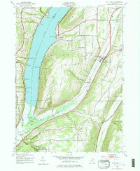
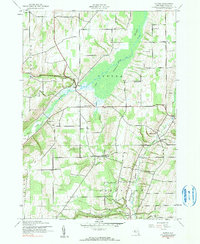
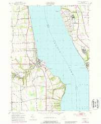
Historical Maps of Milo Through Time
19 maps found
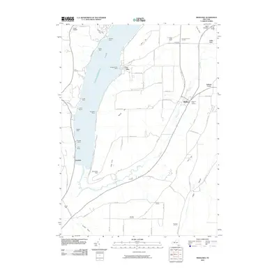
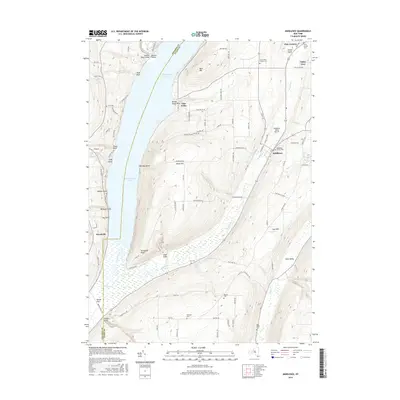
1942 Middlesex
Yates County, NY
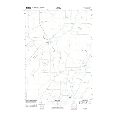
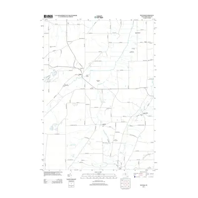
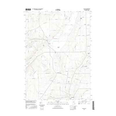
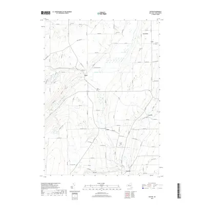
1942 Potter
Yates County, NY
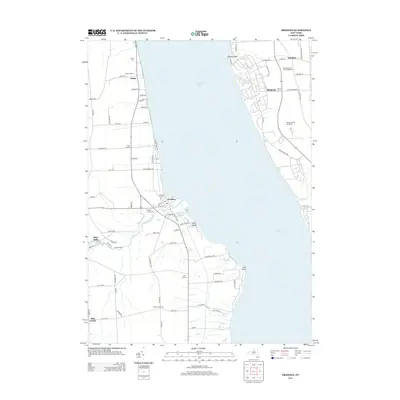
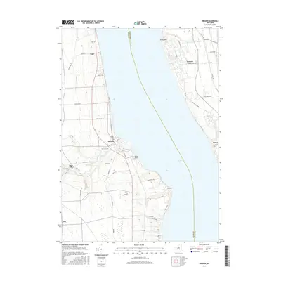
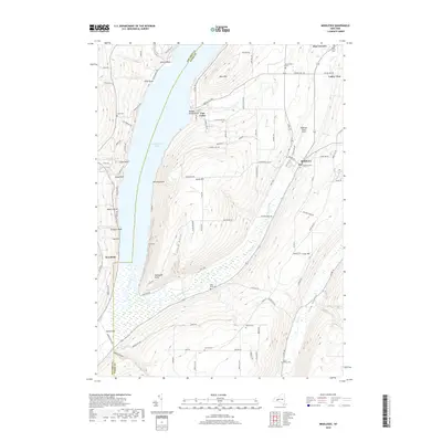
1943 Dresden
Yates County, NY
1943 Keuka Lake
Yates County, NY
2010 Dresden
Yates County, NY
2010 Middlesex
Yates County, NY
2010 Potter
Yates County, NY
2013 Dresden
Yates County, NY
2013 Middlesex
Yates County, NY
2013 Potter
Yates County, NY
2016 Dresden
Yates County, NY
2016 Middlesex
Yates County, NY
2016 Potter
Yates County, NY
2019 Dresden
Yates County, NY
2019 Middlesex
Yates County, NY
2019 Potter
Yates County, NY

2023 Dresden
Yates County, NY

2023 Middlesex
Yates County, NY

2023 Potter
Yates County, NY