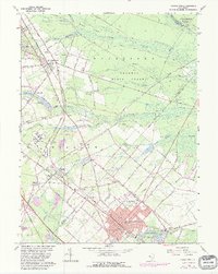
1966 Map of Hammonton
USGS Topo · Published 1982About this map
Wharton State Forest dominates the northern reaches of this Pine Barrens landscape, where numerous tributaries like Sleeper Branch and Clark Branch cut through the sandy terrain. The map captures the significant rail infrastructure at Winslow Junction, a historic nexus for regional transportation, alongside the expansive grounds of the Ancora State Hospital. Settlement patterns follow the historic corridors of the White Horse Pike and the newer Atlantic City Expressway, connecting towns such as Waterford Works and Chesilhurst to the regional hub of Hammonton.
Find a feature on this map
73 named features on this map. Tap any name to fly to it.
Don’t see what you’re looking for? This feature index may not catch every label — zoom into the map to look around manually.
Map Details
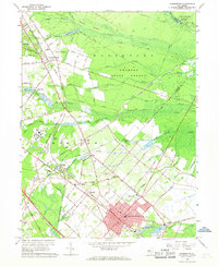
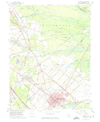
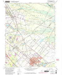
Editions of this 1966 Hammonton Map
4 editions found
Other maps of this area

1888 · Pemberton
USGS Topo · 1:62,500

1888 · Mount Holly
USGS Topo · 1:62,500

1890 · Hammonton
USGS Topo · 1:62,500

1890 · Mullica
USGS Topo · 1:62,500

1894 · Hammonton
USGS Topo · 1:62,500

1894 · Pemberton
USGS Topo · 1:62,500

1894 · Mount Holly
USGS Topo · 1:62,500

1894 · Mullica
USGS Topo · 1:62,500

1898 · Pemberton
USGS Topo · 1:62,500

1898 · Mount Holly
USGS Topo · 1:62,500