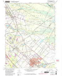
1966 Map of Hammonton
USGS Topo · Published 1982About this map
Hammonton stands as a busy regional hub in the heart of the New Jersey Pine Barrens, centered at a vital intersection of highway and rail lines. The landscape is defined by the transition from the dense woodlands of Wharton State Forest to the productive agriculture and residential growth seen near Rosedale and Winslow. A complex rail network, including the Conrail line, converges at Winslow Junction, illustrating the area's historical importance as a transit corridor. The map details significant institutional and community landmarks, such as the sprawling grounds of the Ancora State Hospital and local education sites like Township Sch No 6 and the High Sch. Water shapes the geography here, with Hammonton Lake and numerous waterways like Blue Anchor Brook and Sleeper Branch cutting through the sandy soil, often feeding into the extensive swamp systems that characterize the region's unique ecology.
Find a feature on this map
85 named features on this map. Tap any name to fly to it.
Don’t see what you’re looking for? This feature index may not catch every label — zoom into the map to look around manually.
Map Details
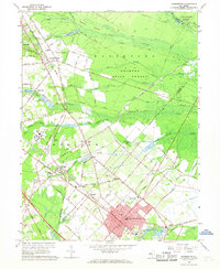
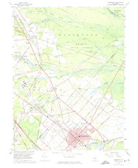
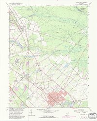
Editions of this 1966 Hammonton Map
4 editions found
Other maps of this area

1888 · Pemberton
USGS Topo · 1:62,500

1888 · Mount Holly
USGS Topo · 1:62,500

1890 · Hammonton
USGS Topo · 1:62,500

1890 · Mullica
USGS Topo · 1:62,500

1894 · Hammonton
USGS Topo · 1:62,500

1894 · Pemberton
USGS Topo · 1:62,500

1894 · Mount Holly
USGS Topo · 1:62,500

1894 · Mullica
USGS Topo · 1:62,500

1898 · Pemberton
USGS Topo · 1:62,500

1898 · Mount Holly
USGS Topo · 1:62,500