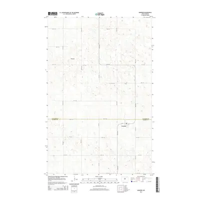
2014 Map of Hampden
USGS Topo · Published 2014About this map
Hampden anchors the southeastern portion of this map, situated just south of the boundary line separating Cavalier Co and Ramsey Co. The township is defined by a grid of rural routes, including Cr-3 and several numbered avenues, reflecting the organized agricultural landscape of the North Dakota plains. Near the center of the village, a Po serves as a vital community hub. Further north, the settlement of Weaver is marked among the rolling topography and numerous small depressions typical of the region's prairie pothole landscape. For those researching local heritage, the Stortle Cem is a significant landmark located along 80th St NE, providing a genealogical focal point for the families who settled this stretch of the northern prairie.
Find a feature on this map
20 named features on this map. Tap any name to fly to it.
Don’t see what you’re looking for? This feature index may not catch every label — zoom into the map to look around manually.
Map Details
Editions of this 2014 Hampden Map
This is the sole edition of this map. No revisions or reprints were ever made.
Other maps of this area

1953 · Devils Lake
USGS Topo · 1:250,000

1956 · Devils Lake
USGS Topo · 1:250,000

1962 · Starkweather NE
USGS Topo · 1:24,000

1970 · Alsen
USGS Topo · 1:24,000

1970 · Loma
USGS Topo · 1:24,000

1970 · Alsen SE
USGS Topo · 1:24,000

1970 · Hampden
USGS Topo · 1:24,000

1970 · Munich
USGS Topo · 1:24,000

1971 · Munich SE
USGS Topo · 1:24,000

1972 · Derrick NW
USGS Topo · 1:24,000