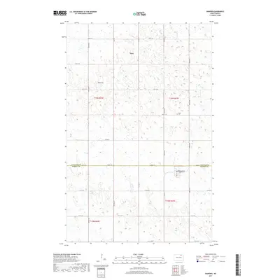
2017 Map of Hampden
USGS Topo · Published 2017About this map
Alsen and Hampden anchor this section of the northern Great Plains, where the landscape is defined by the rectilinear grid of the Public Land Survey System and an intricate network of wetlands. Located along the border of Cavalier and Ramsey Counties, the area demonstrates the late-period survival of small agricultural hubs like Weaver and Alsen. The terrain is dominated by hundreds of small depressions and potholes, typical of the regional geography, which influenced the placement of local thoroughfares such as Lake Rd and Hampden Rd. A single burial site, Storlie Cem, is situated near the center of the quadrangle, serving as a quiet landmark amidst the vast stretches of section-line roads. The proximity of Hampden to the county line and the junction of Co Hwy 3 suggests its role as a local center for the surrounding farmsteads during the early twenty-first century.
Find a feature on this map
28 named features on this map. Tap any name to fly to it.
Don’t see what you’re looking for? This feature index may not catch every label — zoom into the map to look around manually.
Map Details
Editions of this 2017 Hampden Map
This is the sole edition of this map. No revisions or reprints were ever made.
Other maps of this area

1953 · Devils Lake
USGS Topo · 1:250,000

1956 · Devils Lake
USGS Topo · 1:250,000

1962 · Starkweather NE
USGS Topo · 1:24,000

1970 · Alsen
USGS Topo · 1:24,000

1970 · Loma
USGS Topo · 1:24,000

1970 · Alsen SE
USGS Topo · 1:24,000

1970 · Hampden
USGS Topo · 1:24,000

1970 · Munich
USGS Topo · 1:24,000

1971 · Munich SE
USGS Topo · 1:24,000

1972 · Derrick NW
USGS Topo · 1:24,000