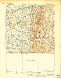
1940 Map of Hampden
USGS Topo · Published 1940About this map
Hampden and its surrounding hill country are documented here just before the mid-century, showing a landscape defined by traditional New England settlements and the prominent ridge of Minnechoag Mountain. The area is centered on the Scantic River valley, where the village of Hampden is established along Main Street. To the north, the town of Wilbraham serves as a local anchor, featuring the Wilbraham Academy Church and the Woodland Dell Cem.
Find a feature on this map
46 named features on this map. Tap any name to fly to it.
Don’t see what you’re looking for? This feature index may not catch every label — zoom into the map to look around manually.
Map Details
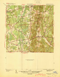
Editions of this 1940 Hampden Map
2 editions found
Other maps of this area

1886 · Springfield
USGS Topo · 1:62,500

1887 · Palmer
USGS Topo · 1:62,500

1889 · Springfield
USGS Topo · 1:62,500

1889 · Palmer
USGS Topo · 1:62,500

1892 · Hartford
USGS Topo · 1:62,500

1892 · Tolland
USGS Topo · 1:62,500

1893 · Springfield
USGS Topo · 1:62,500

1893 · Palmer
USGS Topo · 1:62,500

1895 · Springfield
USGS Topo · 1:62,500

1896 · Holyoke
USGS Topo · 1:125,000