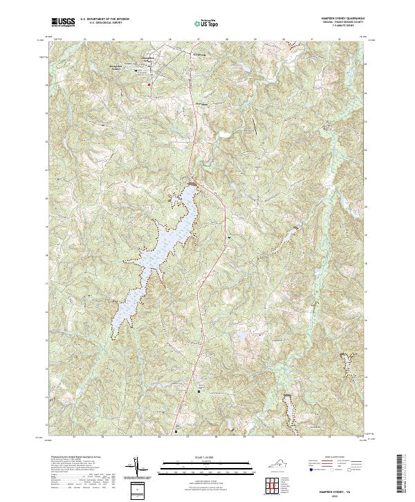
2022 Map of Hampden Sydney
USGS Topo · Published 2022About this map
Hampden-Sydney College and its surroundings serve as the focal point for this survey of south-central Virginia. The landscape is defined by the headwaters and branches of the Bush River and Briery Cr, which feed into larger bodies of water such as Briery Lake and Sterling Lake. Historically significant sites are scattered throughout the region, including the Union Presbyterian Seminary Cem and several community burial grounds like New Bethel Cem and Mount Pleasant Cem.
Find a feature on this map
85 named features on this map. Tap any name to fly to it.
Don’t see what you’re looking for? This feature index may not catch every label — zoom into the map to look around manually.
Map Details
Editions of this 2022 Hampden Sydney Map
This is the sole edition of this map. No revisions or reprints were ever made.
Other maps of this area

1891 · Farmville
USGS Topo · 1:125,000

1892 · Appomattox
USGS Topo · 1:125,000

1893 · Farmville
USGS Topo · 1:125,000

1947 · Roanoke
USGS Topo · 1:250,000

1956 · Charlotte Court House
USGS Topo · 1:62,500

1958 · Farmville
USGS Topo · 1:62,500

1958 · Keysville
USGS Topo · 1:62,500

1958 · Pamplin City
USGS Topo · 1:62,500

1959 · Roanoke
USGS Topo · 1:250,000

1963 · Roanoke
USGS Topo · 1:250,000
Featured Places
- Hampden Sydney, VA
- Kingsville, Hampden Sydney
- Worsham, Hampden Sydney
- Prince Edward County, VA
- United States