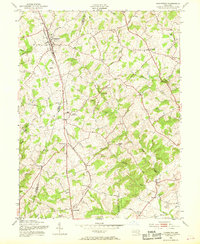
1953 Map of Hampstead
USGS Topo · Published 1969About this map
The Western Maryland railroad corridor forms the backbone of this mid-century survey, linking the high ground of Hampstead with southern crossroads like Boring and Woodensburg. This area, straddling the border between Carroll and Baltimore Counties, is defined by its transition from clustered rail towns to the dissected drainage basins of the Prettyboy Reservoir watershed. Small industry remains visible through sites like Trenton Mill and Lees Mill, while the social fabric of these rural communities is evidenced by numerous historic congregations, including Pleasant Grove Church and Montrose Chapel. The map reveals a landscape of ridge-top settlements and winding valley roads such as Beckleysville Road, where the complex topography of Blackrock Ridge dictates the placement of long-standing family farms and remote cemeteries like Emery Ch Cem.
Find a feature on this map
59 named features on this map. Tap any name to fly to it.
Don’t see what you’re looking for? This feature index may not catch every label — zoom into the map to look around manually.
Map Details
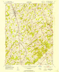
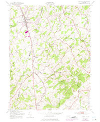
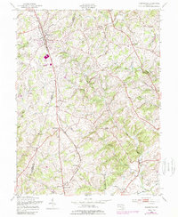
Editions of this 1953 Hampstead Map
4 editions found
Other maps of this area

1892 · Ellicott
USGS Topo · 1:62,500

1894 · Ellicott
USGS Topo · 1:62,500

1894 · Baltimore
USGS Topo · 1:62,500

1899 · Baltimore
USGS Topo · 1:62,500

1900 · Parkton
USGS Topo · 1:62,500

1902 · Parkton
USGS Topo · 1:62,500

1904 · Baltimore
USGS Topo · 1:62,500

1905 · Westminster
USGS Topo · 1:62,500

1906 · Ellicott
USGS Topo · 1:62,500

1908 · Patapsco
USGS Topo · 1:125,000