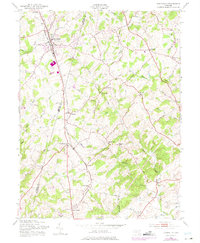
1953 Map of Hampstead
USGS Topo · Published 1975About this map
The Western Maryland RR carves a straight path through the heart of the northern Maryland countryside, linking a series of small, rail-oriented settlements from Greenmount and Hampstead down to Boring and Woodensburg. This mid-century landscape is defined by its numerous small crossroads communities and family-named terrain features, reflecting a period of established rural density. The border between Carroll Co and Baltimore Co meanders through the central terrain, crossing numerous waterways like Piney Run and McGill Run that fed the area's local industry. Evidence of the region's agricultural and processing roots is found in landmarks like Trenton Mill and Lees Mill, while the eastern edge of the map shows the shoreline of the Prettyboy Res. Numerous country houses of worship, including Grace Ch, St Johns Ch, and Emery Ch, serve as focal points for the scattered hamlets.
Find a feature on this map
47 named features on this map. Tap any name to fly to it.
Don’t see what you’re looking for? This feature index may not catch every label — zoom into the map to look around manually.
Map Details
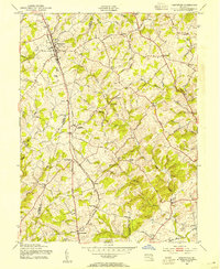
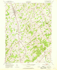
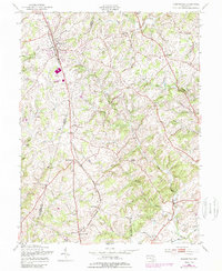
Editions of this 1953 Hampstead Map
4 editions found
Other maps of this area

1892 · Ellicott
USGS Topo · 1:62,500

1894 · Ellicott
USGS Topo · 1:62,500

1894 · Baltimore
USGS Topo · 1:62,500

1899 · Baltimore
USGS Topo · 1:62,500

1900 · Parkton
USGS Topo · 1:62,500

1902 · Parkton
USGS Topo · 1:62,500

1904 · Baltimore
USGS Topo · 1:62,500

1905 · Westminster
USGS Topo · 1:62,500

1906 · Ellicott
USGS Topo · 1:62,500

1908 · Patapsco
USGS Topo · 1:125,000