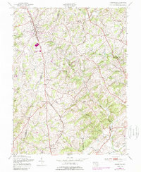
1953 Map of Hampstead
USGS Topo · Published 1989About this map
The Western Maryland railroad corridor forms the backbone of this Carroll County landscape, connecting agricultural hubs and small crossroads settlements during the mid-20th century. Running parallel to Maryland 30, the tracks link Hampstead with the southern hamlet of Fowblesburg and Boring, while rural life centers on institutions like St Johns Ch and Grace Ch. The terrain transitions from the rolling farmland around Greenmount to the more wooded elevations of Blackrock Ridge and Shiloh Hill in the east.
Find a feature on this map
55 named features on this map. Tap any name to fly to it.
Don’t see what you’re looking for? This feature index may not catch every label — zoom into the map to look around manually.
Map Details
Editions of this 1953 Hampstead Map
4 editions found
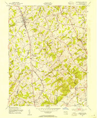
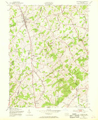
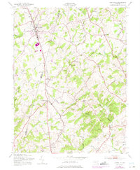
Other maps of this area

1892 · Ellicott
USGS Topo · 1:62,500

1894 · Ellicott
USGS Topo · 1:62,500

1894 · Baltimore
USGS Topo · 1:62,500

1899 · Baltimore
USGS Topo · 1:62,500

1900 · Parkton
USGS Topo · 1:62,500

1902 · Parkton
USGS Topo · 1:62,500

1904 · Baltimore
USGS Topo · 1:62,500

1905 · Westminster
USGS Topo · 1:62,500

1906 · Ellicott
USGS Topo · 1:62,500

1908 · Patapsco
USGS Topo · 1:125,000