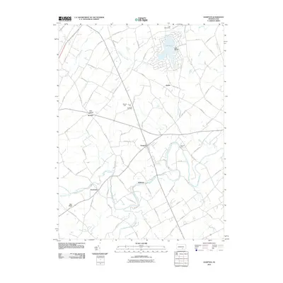
2010 Map of Hampton
USGS Topo · Published 2010About this map
Conewago Creek and its many tributaries, including Beaverdam Creek and Swift Run, define the rolling drainage patterns of this Adams County landscape. The settlement of Hampton serves as a central hub, while the residential development surrounding Lake Meade in the north represents a modern shift in land use compared to the established rural centers like Newchester and Waldheim. Local history is preserved in the naming of roads and landmarks, such as the Round Hill Post Office near the prominent Round Hill terrain feature. The map captures a transition from traditional agricultural and small-town footprints to larger water-resource management projects, evidenced by Lake Meade Dam and Browns Dam. This network of small communities—Amatus, Boulder, and Five Points—illustrates the density of early Pennsylvania crossroads settlements.
Find a feature on this map
81 named features on this map. Tap any name to fly to it.
Don’t see what you’re looking for? This feature index may not catch every label — zoom into the map to look around manually.
Map Details
Editions of this 2010 Hampton Map
This is the sole edition of this map. No revisions or reprints were ever made.
Other maps of this area

1904 · Carlisle
USGS Topo · 1:62,500

1906 · New Cumberland
USGS Topo · 1:62,500

1908 · Gettysburg
USGS Topo · 1:62,500

1920 · Hanover
USGS Topo · 1:62,500

1922 · Hanover
USGS Topo · 1:62,500

1942 · Gettysburg
USGS Topo · 1:125,000

1943 · New Cumberland
USGS Topo · 1:62,500

1943 · Carlisle
USGS Topo · 1:62,500

1944 · Gettysburg
USGS Topo · 1:31,680

1944 · Mc Sherrystown
USGS Topo · 1:31,680
Featured Places
- Latimore Township, PA
- Reading Township, PA
- Tyrone Township, PA
- Hamilton Township, PA
- Oxford Township, PA