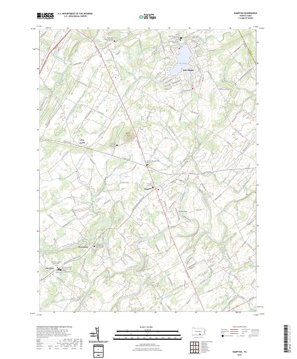
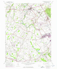
2023 Map of Hampton
USGS Topo · Published 2023About this map
Lake Meade and the surrounding agricultural landscape of eastern Adams County define this region, where modern lakeside development meets deep-rooted colonial and religious history. The terrain is structured by old turnpike routes like the Carlisle Pike and significant watercourses, including the winding Conewago Creek and Bermudian Creek.
Find a feature on this map
132 named features on this map. Tap any name to fly to it.
Don’t see what you’re looking for? This feature index may not catch every label — zoom into the map to look around manually.
Map Details
Editions of this 2023 Hampton Map
This is the sole edition of this map. No revisions or reprints were ever made.
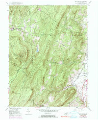
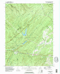
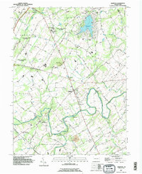
Historical Maps of Mount Pleasant Township Through Time
12 maps found
1944 Caledonia Park
Adams County, PA
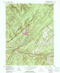
1944 Hampton
Adams County, PA
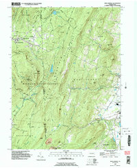
1944 Iron Springs
Adams County, PA
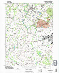
1944 Mc Sherrystown
Adams County, PA
1953 Iron Springs
Adams County, PA
1990 Caledonia Park
Adams County, PA
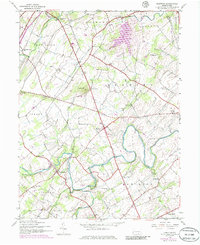
1990 Hampton
Adams County, PA
1990 Iron Springs
Adams County, PA
1990 Mc Sherrystown
Adams County, PA
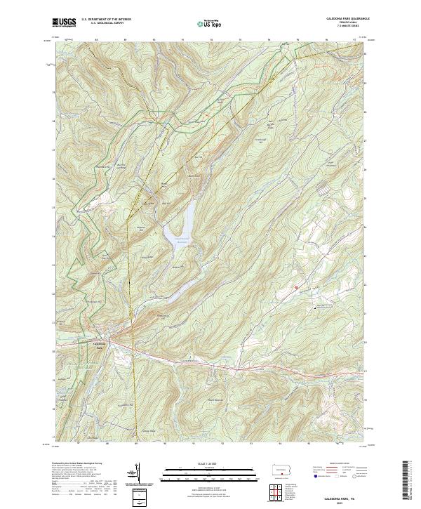
2023 Caledonia Park
Adams County, PA
2023 Hampton
Adams County, PA
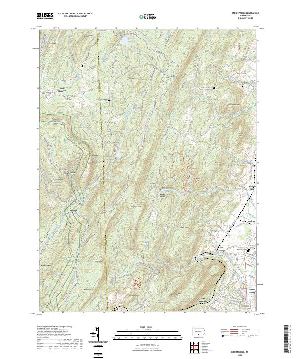
2023 Iron Springs
Adams County, PA
Featured Locations
- Berwick Township, PA
- Latimore Township, PA
- Hamilton Township, PA
- Reading Township, PA
- Tyrone Township, PA