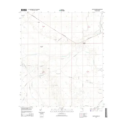
2015 Map of Hampton Springs
USGS Topo · Published 2015About this map
Hampton Springs and the nearby settlement of Roach anchor this Florida landscape, where the Fenholloway River and Spring Cr define the local hydrology. The area is characterized by a complex network of industrial and rural corridors, including the Old Main Line and several distinctively named grades such as Container Grade and Courtney Grade. These routes suggest a history tied to the regional timber or agricultural industries, cutting through the lowlands and hammocks. Local landmarks like Thomas Mill Hammock and Waldo Spring provide specific points of interest for those studying land use and natural features. Genealogists and local historians will find the Poorspot Cem off Poor Spot Cemetery Rd a significant point for family research. The map also captures numerous family-named roads such as Jim Lee Rd, George Page Rd, and Abe Whitfield Ln, reflecting the deep-rooted community ties in this part of Taylor County.
Find a feature on this map
48 named features on this map. Tap any name to fly to it.
Don’t see what you’re looking for? This feature index may not catch every label — zoom into the map to look around manually.
Map Details
Editions of this 2015 Hampton Springs Map
This is the sole edition of this map. No revisions or reprints were ever made.
Other maps of this area

1952 · Secotan
USGS Topo · 1:24,000

1954 · Johnson Hammock
USGS Topo · 1:24,000

1954 · Warrior Swamp
USGS Topo · 1:24,000

1954 · Boyd
USGS Topo · 1:24,000

1954 · Hampton Springs
USGS Topo · 1:24,000

1954 · Secotan
USGS Topo · 1:24,000

1954 · Okefenokee Slough
USGS Topo · 1:24,000

1954 · Gainesville
USGS Topo · 1:250,000

1954 · Valdosta
USGS Topo · 1:250,000

1955 · Perry
USGS Topo · 1:24,000