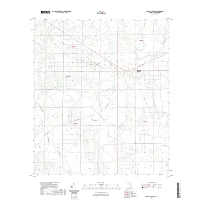
2021 Map of Hampton Springs
USGS Topo · Published 2021About this map
The Fenholloway River and its various tributaries define the low-lying wetlands of Taylor County, where the historic community of Hampton Springs sits near the confluence of Spring Cr and the main river channel. This area is characterized by a dense network of local roads and grades that intersect the hammocks and swamps, reflecting a landscape long shaped by the timber and turpentine industries. Notable terrain features like Thomas Mill Hammock and water sources such as Waldo Spring provide specific points of reference for the region's physical geography. Genealogy researchers can locate family sites near Poorspot Cem, which is accessed via Poorspot Cemetery Rd. The map also details several family-named thoroughfares, including Walter Shiver Rd, Dudley Benton Rd, and George Page Rd, which crisscross the sections between the river and the northern drainage of Woods Cr.
Find a feature on this map
33 named features on this map. Tap any name to fly to it.
Don’t see what you’re looking for? This feature index may not catch every label — zoom into the map to look around manually.
Map Details
Editions of this 2021 Hampton Springs Map
This is the sole edition of this map. No revisions or reprints were ever made.
Other maps of this area

1952 · Secotan
USGS Topo · 1:24,000

1954 · Johnson Hammock
USGS Topo · 1:24,000

1954 · Warrior Swamp
USGS Topo · 1:24,000

1954 · Boyd
USGS Topo · 1:24,000

1954 · Hampton Springs
USGS Topo · 1:24,000

1954 · Secotan
USGS Topo · 1:24,000

1954 · Okefenokee Slough
USGS Topo · 1:24,000

1954 · Gainesville
USGS Topo · 1:250,000

1954 · Valdosta
USGS Topo · 1:250,000

1955 · Perry
USGS Topo · 1:24,000