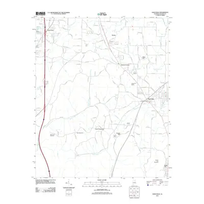
2011 Map of Hanceville
USGS Topo · Published 2011About this map
Hanceville and the surrounding Cullman County landscape are defined by a complex network of creeks and prominent ridges. The terrain transitions from the elevations of Stout Mountain and Buttermilk Mountain in the west toward the Broylen River in the northeast. This era of development is visible through the concentration of community hubs like Johnsons Crossing, White City, and Center Community, which are linked by an extensive system of county roads and the Interstate 65 corridor.
Find a feature on this map
130 named features on this map. Tap any name to fly to it.
Don’t see what you’re looking for? This feature index may not catch every label — zoom into the map to look around manually.
Map Details
Editions of this 2011 Hanceville Map
This is the sole edition of this map. No revisions or reprints were ever made.
Other maps of this area

1888 · Cullman
USGS Topo · 1:125,000

1889 · Birmingham
USGS Topo · 1:125,000

1892 · Cullman
USGS Topo · 1:125,000

1892 · Birmingham
USGS Topo · 1:125,000

1895 · Birmingham
USGS Topo · 1:125,000

1907 · Birmingham
USGS Topo · 1:125,000

1951 · Arkadelphia
USGS Topo · 1:24,000

1951 · Blount Springs
USGS Topo · 1:24,000

1953 · Birmingham
USGS Topo · 1:250,000

1956 · Birmingham
USGS Topo · 1:250,000