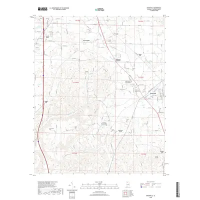
2018 Map of Hanceville
USGS Topo · Published 2018About this map
Hanceville serves as a central hub on this 2018 survey, anchored by the extensive campus of George C Wallace State Community College-Hanceville. The landscape transitions from the developed corridors along CSX Transportation and local routes to the distinct elevations of Buttermilk Mtn and Stout Mtn. To the south, Garden City and its namesake Garden City Mtn mark the edge of the quadrangle, while smaller communities like White City and Dodge City dot the surrounding countryside.
Find a feature on this map
149 named features on this map. Tap any name to fly to it.
Don’t see what you’re looking for? This feature index may not catch every label — zoom into the map to look around manually.
Map Details
Editions of this 2018 Hanceville Map
This is the sole edition of this map. No revisions or reprints were ever made.
Other maps of this area

1888 · Cullman
USGS Topo · 1:125,000

1889 · Birmingham
USGS Topo · 1:125,000

1892 · Cullman
USGS Topo · 1:125,000

1892 · Birmingham
USGS Topo · 1:125,000

1895 · Birmingham
USGS Topo · 1:125,000

1907 · Birmingham
USGS Topo · 1:125,000

1951 · Arkadelphia
USGS Topo · 1:24,000

1951 · Blount Springs
USGS Topo · 1:24,000

1953 · Birmingham
USGS Topo · 1:250,000

1956 · Birmingham
USGS Topo · 1:250,000