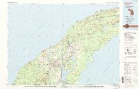
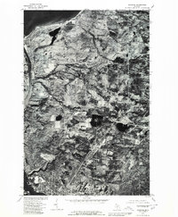
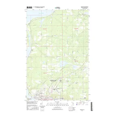
1985 Map of Hancock
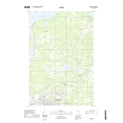
USGS Topo · Published 1991About this map
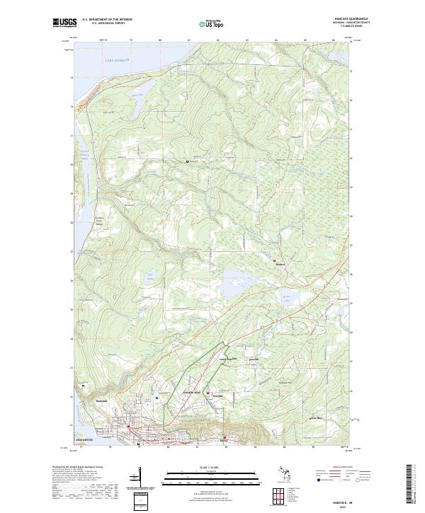
The Keweenaw Peninsula projects into Lake Superior, revealing a landscape deeply marked by its copper mining heritage. In the mid-1980s, the industrial legacy of the region remained visible through the concentration of mines surrounding Hancock and Houghton, including the Quincy Mine, Arcadian Mine, and Isle Royale Mine. The Portage Canal and Portage Lake bisect the peninsula, serving as a central corridor for the settlements of Lake Linden, Hubbell, and Dollar Bay. Local history and genealogy interest is anchored by landmarks such as Michigan Technological University, Lakeside Cemetery, and the Sand Hills Lighthouse. The transport network, featuring the Soo Line Railroad and roads like Us 41, connects the southern mining towns to northern outposts like Eagle Harbor and Copper Harbor, while the Copper Country State Forest preserves the interior wilderness.
Find a feature on this map
157 named features on this map. Tap any name to fly to it.
Don’t see what you’re looking for? This feature index may not catch every label — zoom into the map to look around manually.
Map Details
Editions of this 1985 Hancock Map
3 editions found

Historical Maps of Houghton Through Time
13 maps found
1946 Hancock
Houghton County, MI
1948 Hancock
Houghton County, MI
1958 Hancock
Houghton County, MI

1960 Hancock
Houghton County, MI

1961 Hancock
Houghton County, MI

1966 Hancock
Houghton County, MI
1978 Hancock
Houghton County, MI
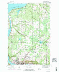
1985 Hancock
Houghton County, MI
2011 Hancock
Houghton County, MI
2014 Hancock
Houghton County, MI
2017 Hancock
Houghton County, MI
2019 Hancock
Houghton County, MI
2023 Hancock
Houghton County, MI
Featured Locations
- Hancock, MI
- Houghton, MI
- Chassell, Chassell Township
- Laurium, Calumet Township
- Osceola, Calumet Township