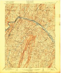
1901 Map of Hancock
USGS Topo · Published 1917About this map
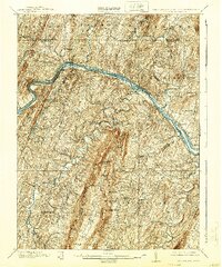
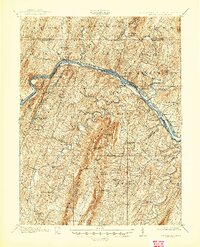
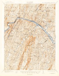
The Potomac River corridor serves as a busy industrial and transportation artery on this 1899 survey, where the Chesapeake and Ohio Canal and the Baltimore and Ohio Railroad parallel the water through the narrow gaps of the Appalachian ridges. This map captures the region's complex infrastructure, including the Parkhead Turnpike and the Western Maryland Railroad, which crisscross the valley near the strategic river crossing at Hancock. To the east, the preservation of colonial history is evident at Fort Frederick, standing near the natural basins of Big Pool and Little Pool.
Find a feature on this map
114 named features on this map. Tap any name to fly to it.
Don’t see what you’re looking for? This feature index may not catch every label — zoom into the map to look around manually.
Map Details
Editions of this 1901 Hancock Map
8 editions found
Other maps of this area

1884 · Harpers Ferry
USGS Topo · 1:125,000

1891 · Harpers Ferry
USGS Topo · 1:125,000

1893 · Harpers Ferry
USGS Topo · 1:125,000

1894 · Winchester
USGS Topo · 1:125,000

1898 · Paw Paw
USGS Topo · 1:62,500

1899 · Hancock
USGS Topo · 1:62,500

1900 · Pawpaw
USGS Topo · 1:62,500

1900 · Mercersburg
USGS Topo · 1:62,500

1901 · Hancock
USGS Topo · 1:62,500

1902 · Mercersburg
USGS Topo · 1:62,500