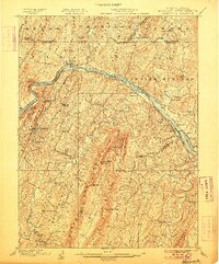
1901 Map of Hancock
USGS Topo · Published 1906About this map
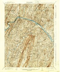
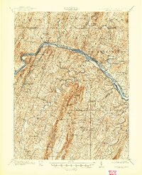
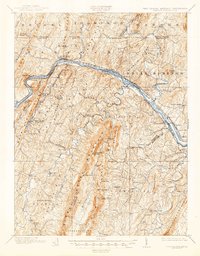
Hancock stands at the narrowest point of the Maryland panhandle, where the Potomac River carves a deep valley between the ridges of the Appalachian Mountains. This 1899 survey documents the critical transportation corridor of the era, where the Chesapeake and Ohio Canal, the Cumberland and Baltimore Turnpike, and the Baltimore and Ohio R. R. all converge in a tight race for westward passage. To the southeast, the bastion of Fort Frederick remains a prominent landmark near Big Pool, overlooking the river's winding course.
Find a feature on this map
95 named features on this map. Tap any name to fly to it.
Don’t see what you’re looking for? This feature index may not catch every label — zoom into the map to look around manually.
Map Details
Editions of this 1901 Hancock Map
8 editions found
Other maps of this area

1884 · Harpers Ferry
USGS Topo · 1:125,000

1891 · Harpers Ferry
USGS Topo · 1:125,000

1893 · Harpers Ferry
USGS Topo · 1:125,000

1894 · Winchester
USGS Topo · 1:125,000

1898 · Paw Paw
USGS Topo · 1:62,500

1899 · Hancock
USGS Topo · 1:62,500

1900 · Pawpaw
USGS Topo · 1:62,500

1900 · Mercersburg
USGS Topo · 1:62,500

1901 · Hancock
USGS Topo · 1:62,500

1902 · Mercersburg
USGS Topo · 1:62,500