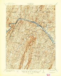
1901 Map of Hancock
USGS Topo · Published 1945About this map
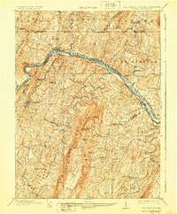
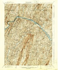
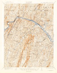
The Potomac River serves as the primary artery for transport and boundary-marking in this 1899 survey, where the Chesapeake and Ohio Canal parallels the river's northern bank. This industrial corridor is further crowded by the competing tracks of the Baltimore and Ohio Railroad and the Western Maryland Railroad, illustrating the intense logistical competition of the era. The terrain is dominated by prominent parallel ridges including Sleepy Creek Mountain and Third Hill Mountain, which channeled early settlement into the narrow valleys.
Find a feature on this map
95 named features on this map. Tap any name to fly to it.
Don’t see what you’re looking for? This feature index may not catch every label — zoom into the map to look around manually.
Map Details
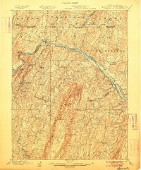
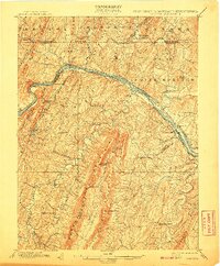
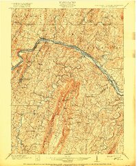
Editions of this 1901 Hancock Map
8 editions found
Other maps of this area

1884 · Harpers Ferry
USGS Topo · 1:125,000

1891 · Harpers Ferry
USGS Topo · 1:125,000

1893 · Harpers Ferry
USGS Topo · 1:125,000

1894 · Winchester
USGS Topo · 1:125,000

1898 · Paw Paw
USGS Topo · 1:62,500

1899 · Hancock
USGS Topo · 1:62,500

1900 · Pawpaw
USGS Topo · 1:62,500

1900 · Mercersburg
USGS Topo · 1:62,500

1901 · Hancock
USGS Topo · 1:62,500

1902 · Mercersburg
USGS Topo · 1:62,500