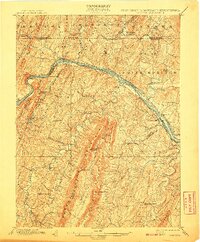
1901 Map of Hancock
USGS Topo · Published 1907About this map
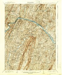
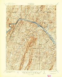
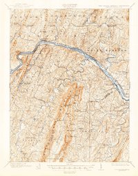
The Potomac River carves a winding path through the Appalachian landscape, serving as the vital corridor for late 19th-century transportation and commerce. Parallel to the river's northern bank, the C. & O. Canal and the Baltimore and Ohio R. R. illustrate the intense competition between water and rail transit through the mountains. To the east, the defensive presence of Fort Frederick stands as a landmark of colonial history, while numerous crossroads and small settlements like Indian Springs and Brosius dot the valleys between ridges.
Find a feature on this map
89 named features on this map. Tap any name to fly to it.
Don’t see what you’re looking for? This feature index may not catch every label — zoom into the map to look around manually.
Map Details
Editions of this 1901 Hancock Map
8 editions found
Other maps of this area

1884 · Harpers Ferry
USGS Topo · 1:125,000

1891 · Harpers Ferry
USGS Topo · 1:125,000

1893 · Harpers Ferry
USGS Topo · 1:125,000

1894 · Winchester
USGS Topo · 1:125,000

1898 · Paw Paw
USGS Topo · 1:62,500

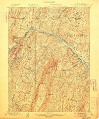
1899 · Hancock
USGS Topo · 1:62,500

1900 · Pawpaw
USGS Topo · 1:62,500

1900 · Mercersburg
USGS Topo · 1:62,500

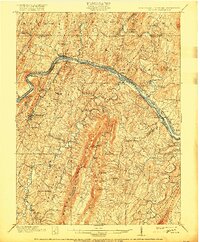
1901 · Hancock
USGS Topo · 1:62,500

1902 · Mercersburg
USGS Topo · 1:62,500