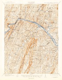
1901 Map of Hancock
USGS Topo · Published 1945About this map
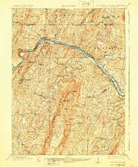
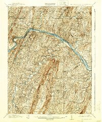
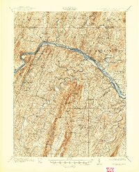
The Potomac River corridor serves as a busy industrial and transportation artery in this late nineteenth-century survey, where the Chesapeake and Ohio Canal parallels several major rail lines. Near the northern bend at Hancock, the landscape is defined by steep ridges like Tonoloway Ridge and Timber Ridge, which forced engineering solutions for the Baltimore and Ohio Railroad and the Western Maryland Railroad. A notable industrial presence is marked by the Glass Sand Factory along the river, while the historic Fort Frederick stands watch near Big Pool.
Find a feature on this map
96 named features on this map. Tap any name to fly to it.
Don’t see what you’re looking for? This feature index may not catch every label — zoom into the map to look around manually.
Map Details
Editions of this 1901 Hancock Map
8 editions found
Other maps of this area

1884 · Harpers Ferry
USGS Topo · 1:125,000

1891 · Harpers Ferry
USGS Topo · 1:125,000

1893 · Harpers Ferry
USGS Topo · 1:125,000

1894 · Winchester
USGS Topo · 1:125,000

1898 · Paw Paw
USGS Topo · 1:62,500

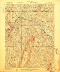
1899 · Hancock
USGS Topo · 1:62,500

1900 · Pawpaw
USGS Topo · 1:62,500

1900 · Mercersburg
USGS Topo · 1:62,500

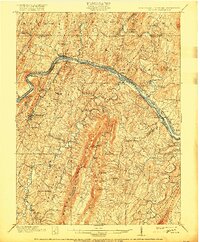
1901 · Hancock
USGS Topo · 1:62,500

1902 · Mercersburg
USGS Topo · 1:62,500