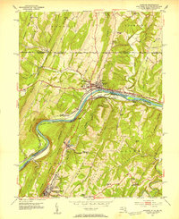
1951 Map of Hancock
USGS Topo · Published 1953About this map
Berkeley Springs (Bath) and the riverside town of Hancock anchor this three-state borderland study, where Maryland, West Virginia, and Pennsylvania meet along the Potomac River. The landscape is dominated by the northeast-trending ridges of Bethel Ridge and Warm Spring Ridge, which channeled early transportation routes through narrow gaps. Evidence of the region's industrial transition is visible in the presence of the Chesapeake and Ohio Canal (Abandoned) alongside the active Western Maryland and Baltimore and Ohio railroads. Local life in the early 1950s is detailed through numerous rural landmarks, from the Potomac Airport and Burnt Factory to the Westview Sch and Johnsons Mill. Significant genealogy interest can be found in the smaller settlements and points like Dogtown, Jimtown, and Sir Johns Run, as well as several country churches such as Black Oak Ridge Ch and Fairview Ch.
Find a feature on this map
67 named features on this map. Tap any name to fly to it.
Don’t see what you’re looking for? This feature index may not catch every label — zoom into the map to look around manually.
Map Details
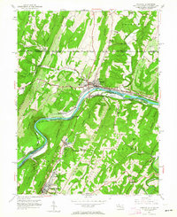
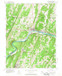
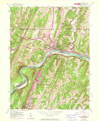
Editions of this 1951 Hancock Map
4 editions found
Other maps of this area

1898 · Paw Paw
USGS Topo · 1:62,500

1899 · Hancock
USGS Topo · 1:62,500

1900 · Pawpaw
USGS Topo · 1:62,500

1901 · Hancock
USGS Topo · 1:62,500

1910 · Paw Paw
USGS Topo · 1:62,500

1925 · Needmore
USGS Topo · 1:48,000

1927 · Clearville
USGS Topo · 1:48,000

1931 · Clearville
USGS Topo · 1:62,500

1935 · Needmore
USGS Topo · 1:62,500

1939 · Needmore
USGS Topo · 1:62,500
Featured Places
- Hancock, MD
- Berkeley Springs, Bath (Berkeley Springs)
- Stanley, MD
- Sphors Crossroads, WV
- Bethel Township, PA