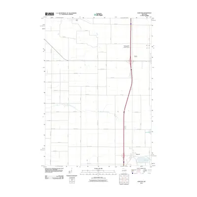
2010 Map of Hancock
USGS Topo · Published 2010About this map
The village of Hancock serves as the primary hub in this central Wisconsin landscape, characterized by a transition from agricultural acreage to small water bodies. The terrain is marked by hydrological features such as the Big Roche a Cri Creek and Leola Ditch, which underscore the region's managed water systems. Toward the northern boundary, Plainfield Cemetery and the Runway Leasing Incorporated Number 1 Airport provide clear spatial reference points for local history and aviation infrastructure. The map also highlights natural landmarks like Lone Rock and a cluster of lakes including Goose Lake and Pine Lake, reflecting the post-glacial topography typical of Waushara County. The gridded road network, including numerous residential avenues and county highways, illustrates the 21st-century residential and rural development patterns of the area.
Find a feature on this map
44 named features on this map. Tap any name to fly to it.
Don’t see what you’re looking for? This feature index may not catch every label — zoom into the map to look around manually.
Map Details
Editions of this 2010 Hancock Map
This is the sole edition of this map. No revisions or reprints were ever made.
Other maps of this area

1955 · Green Bay
USGS Topo · 1:250,000

1957 · Amherst
USGS Topo · 1:48,000

1957 · Whiting
USGS Topo · 1:48,000

1958 · Coloma
USGS Topo · 1:48,000

1959 · Wautoma
USGS Topo · 1:48,000

1968 · Coloma NW
USGS Topo · 1:24,000

1968 · Coloma SW
USGS Topo · 1:24,000

1968 · Coloma
USGS Topo · 1:24,000

1968 · Richford
USGS Topo · 1:24,000

1968 · Plainfield
USGS Topo · 1:24,000