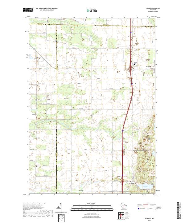
2022 Map of Hancock
USGS Topo · Published 2022About this map
Plainfield sits at the northern edge of this Central Wisconsin landscape, where the agricultural plains meet the specialized infrastructure of local aviation. The terrain is marked by a distinctive transition from the engineered drainage of Leola Ditch to the more natural riparian system of Big Roche a Cri Cr. This area is a patchwork of rural roads and aviation points, featuring both the Runway Leasing Inc Number 1 Airport and Bucky's Airpark, suggesting a community deeply connected by small-craft air travel. Near the village, the Plainfield Cem provides a focal point for genealogical research, while the presence of Lone Rock offers a unique geological landmark amidst the flat, marshy stretches. To the south, the landscape softens into the kettle-like basins of Goose Lake and Pine Lake, defining the recreational and natural character of the Waushara County countryside.
Find a feature on this map
47 named features on this map. Tap any name to fly to it.
Don’t see what you’re looking for? This feature index may not catch every label — zoom into the map to look around manually.
Map Details
Editions of this 2022 Hancock Map
This is the sole edition of this map. No revisions or reprints were ever made.
Other maps of this area

1955 · Green Bay
USGS Topo · 1:250,000

1957 · Amherst
USGS Topo · 1:48,000

1957 · Whiting
USGS Topo · 1:48,000

1958 · Coloma
USGS Topo · 1:48,000

1959 · Wautoma
USGS Topo · 1:48,000

1968 · Coloma NW
USGS Topo · 1:24,000

1968 · Coloma SW
USGS Topo · 1:24,000

1968 · Coloma
USGS Topo · 1:24,000

1968 · Richford
USGS Topo · 1:24,000

1968 · Plainfield
USGS Topo · 1:24,000