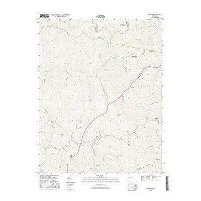
2016 Map of Handshoe
USGS Topo · Published 2016About this map
Handshoe and its surrounding hollows in Knott County are defined by a landscape of high ridges and narrow creek beds where local life follows the terrain. Small settlements like Soft Shell, Mousie, and Larkslane are tucked into the valleys of Balls Fork and Rock Fork, connected by a network of winding roads like Ratliff School Rd and Ball Branch School Rd. Genealogy is etched into the hillsides at the Estill Smith Cem, Bolen Cem, and Click Cem, often located near prominent landforms such as Chestnut Mtn or along Bolen Cemetary Rd. The map reveals the deep imprint of the regional coal and timber economy, evidenced by the Pembroke Coal Company Rd and numerous named branches such as Fourmile Branch and Little Firecoal Br. High-elevation features like Scaffd and Lacy Ridge and Poplar Gap provide natural boundaries between the watersheds of the Middle Fork Quicksand Cr and its many tributaries.
Find a feature on this map
106 named features on this map. Tap any name to fly to it.
Don’t see what you’re looking for? This feature index may not catch every label — zoom into the map to look around manually.
Map Details
Editions of this 2016 Handshoe Map
This is the sole edition of this map. No revisions or reprints were ever made.
Other maps of this area

1886 · Prestonsburg
USGS Topo · 1:125,000

1889 · Salyersville
USGS Topo · 1:125,000

1890 · Whitesburg
USGS Topo · 1:125,000

1891 · Hazard
USGS Topo · 1:125,000

1891 · Salyersville
USGS Topo · 1:125,000

1892 · Whitesburg
USGS Topo · 1:125,000

1892 · Prestonsburg
USGS Topo · 1:125,000

1899 · Salyersville
USGS Topo · 1:125,000

1912 · Hindman
USGS Topo · 1:48,000

1914 · Troublesome
USGS Topo · 1:62,500