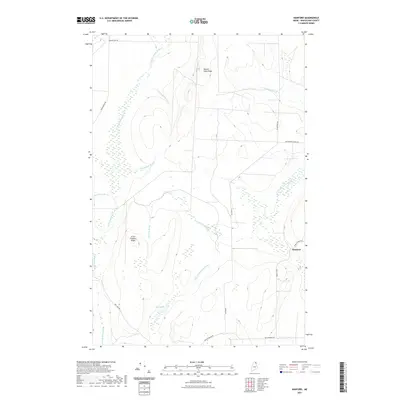
2021 Map of Hanford
USGS Topo · Published 2021About this map
Hanford sits within a landscape defined by the drainage of the Little Madawaska River and a dense network of forest brooks in northern Maine. The terrain is marked by prominent elevations such as Square Lake Ridge and Little Goddard Ridge, which dictate the paths of numerous waterways including Blacksmith Brook and Joe Dubay Brook. This contemporary survey illustrates a region where local transport is deeply tied to the land's hydrology, with roads like Bog Lake Rd and Blackstone Siding Rd following the natural contours and valley floors.
Find a feature on this map
22 named features on this map. Tap any name to fly to it.
Don’t see what you’re looking for? This feature index may not catch every label — zoom into the map to look around manually.
Map Details
Editions of this 2021 Hanford Map
This is the sole edition of this map. No revisions or reprints were ever made.
Other maps of this area

1927 · Stockholm
USGS Topo · 1:48,000

1927 · Square Lake
USGS Topo · 1:48,000

1929 · Portage
USGS Topo · 1:62,500

1929 · Caribou
USGS Topo · 1:48,000

1931 · Square Lake
USGS Topo · 1:62,500

1931 · Portage
USGS Topo · 1:62,500

1931 · Stockholm
USGS Topo · 1:62,500

1932 · Caribou
USGS Topo · 1:62,500

1953 · Stockholm
USGS Topo · 1:62,500

1953 · Square Lake
USGS Topo · 1:62,500