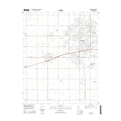
2015 Map of Hanford
USGS Topo · Published 2015About this map
Hanford serves as the focal point of this Central Valley survey, surrounded by an intricate network of agricultural irrigation channels that define the San Joaquin Valley landscape. The map details the local water management system, including the Last Chance Ditch, McCrary Side Ditch, and Lakeside Ditch, which supported the region's historic farming operations. Residential and community life is visible in the clusters of Armona, Grangeville, and Home Garden, as well as the specialized area of Fort Roosevelt.
Find a feature on this map
94 named features on this map. Tap any name to fly to it.
Don’t see what you’re looking for? This feature index may not catch every label — zoom into the map to look around manually.
Map Details
Editions of this 2015 Hanford Map
This is the sole edition of this map. No revisions or reprints were ever made.
Other maps of this area

1924 · Riverdale
USGS Topo · 1:31,680

1926 · Hanford
USGS Topo · 1:31,680

1926 · Burris Park
USGS Topo · 1:31,680

1927 · Laton
USGS Topo · 1:31,680

1927 · Remnoy
USGS Topo · 1:31,680

1927 · Riverdale
USGS Topo · 1:31,680

1927 · Lemoore
USGS Topo · 1:31,680

1928 · Waukena
USGS Topo · 1:31,680

1929 · Guernsey
USGS Topo · 1:31,680

1929 · Stratford
USGS Topo · 1:31,680