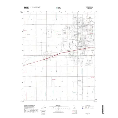
2018 Map of Hanford
USGS Topo · Published 2018About this map
Hanford serves as the primary urban center on this San Joaquin Valley survey, surrounded by a complex network of agricultural irrigation and drainage features. The landscape is defined by the engineered movement of water, evidenced by the Mussel Slough and multiple canals such as Last Chance Ditch and the Independent Ditch. These waterways support the established communities of Armona and Grangeville, which maintain their distinct identities alongside the expanding residential footprint of Home Garden.
Find a feature on this map
39 named features on this map. Tap any name to fly to it.
Don’t see what you’re looking for? This feature index may not catch every label — zoom into the map to look around manually.
Map Details
Editions of this 2018 Hanford Map
This is the sole edition of this map. No revisions or reprints were ever made.
Other maps of this area

1924 · Riverdale
USGS Topo · 1:31,680

1926 · Hanford
USGS Topo · 1:31,680

1926 · Burris Park
USGS Topo · 1:31,680

1927 · Laton
USGS Topo · 1:31,680

1927 · Remnoy
USGS Topo · 1:31,680

1927 · Riverdale
USGS Topo · 1:31,680

1927 · Lemoore
USGS Topo · 1:31,680

1928 · Waukena
USGS Topo · 1:31,680

1929 · Guernsey
USGS Topo · 1:31,680

1929 · Stratford
USGS Topo · 1:31,680