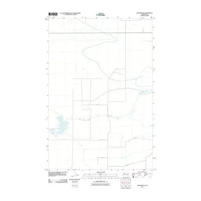
2011 Map of Hanford NE
USGS Topo · Published 2011About this map
The Wahluke Branch Ten Wasteway defines the drainage and agricultural character of this Grant County landscape. In this 2011 survey, the section line road grid is well-established, featuring long rural corridors such as Michel Rd, Mountain Vista Rd, and McLane Rd. These thoroughfares serve the high desert plateau north of the Hanford Reach, where the intersection of water management and land division is visible through the winding path of the wasteway against the rigid geometry of the road network. Other local routes, including Koelzer Rd and Filbert Rd, provide access across the open terrain, while Lowe Rd and W Yeisley Rd mark the southern and northern extents of this specific quadrangle.
Find a feature on this map
10 named features on this map. Tap any name to fly to it.
Don’t see what you’re looking for? This feature index may not catch every label — zoom into the map to look around manually.
Map Details
Editions of this 2011 Hanford NE Map
This is the sole edition of this map. No revisions or reprints were ever made.
Other maps of this area

1923 · Corfu
USGS Topo · 1:62,500

1924 · Othello
USGS Topo · 1:62,500

1924 · Hanford
USGS Topo · 1:62,500

1925 · Scooteney Lake
USGS Topo · 1:62,500

1951 · Scooteney Lake
USGS Topo · 1:62,500

1951 · Corfu
USGS Topo · 1:62,500

1951 · Hanford
USGS Topo · 1:62,500

1953 · Walla Walla
USGS Topo · 1:250,000

1954 · Othello
USGS Topo · 1:24,000

1954 · Othello
USGS Topo · 1:62,500