
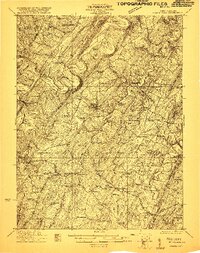
1921 Map of Hanging Rock
USGS Topo · Published 1921About this map
Augusta and Springfield anchor this 1921 topography of Hampshire County, where the Cacapon River and South Branch Potomac River carve through a landscape of sharp ridges and deep hollows. The settlement pattern is defined by a dense network of country schools and rural churches, including Shiloh School, Ebenezer Church, and Salem Church, reflecting a decentralized agricultural community at the start of the twentieth century. Industrial and transit activity centers on the Baltimore and Ohio RR near Wappocomo and the historic Northwestern Turnpike crossing through the southern half of the quadrangle.
Find a feature on this map
122 named features on this map. Tap any name to fly to it.
Don’t see what you’re looking for? This feature index may not catch every label — zoom into the map to look around manually.
Map Details
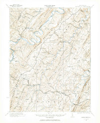
Editions of this 1921 Hanging Rock Map
3 editions found
Other maps of this area

1891 · Romney
USGS Topo · 1:125,000

1894 · Winchester
USGS Topo · 1:125,000

1898 · Frostburg
USGS Topo · 1:62,500

1898 · Paw Paw
USGS Topo · 1:62,500

1899 · Flintstone
USGS Topo · 1:62,500

1900 · Pawpaw
USGS Topo · 1:62,500

1900 · Flintstone
USGS Topo · 1:62,500

1901 · Frostburg
USGS Topo · 1:62,500

1908 · Frostburg
USGS Topo · 1:62,500

1910 · Paw Paw
USGS Topo · 1:62,500