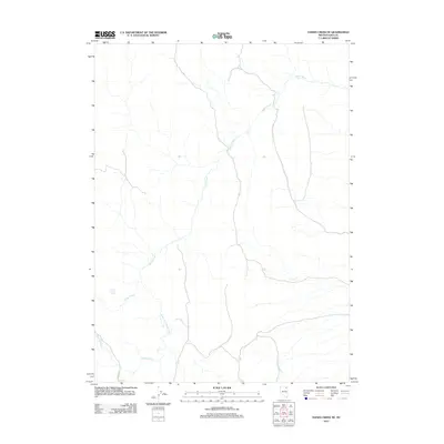
2012 Map of Hanks Creek NE
USGS Topo · Published 2012About this map
Hanks Creek and its various tributaries define the drainage patterns of this high Elko County landscape during the early 21st century. The map centers on the winding course of the creek as it flows northward through open country, joined from the south by the South Fork Hanks Creek. Human presence in this environment is sparse, represented primarily by Co Hwy 747, which skirts the western edge of the quadrangle. A notable localized water source, Union Spring Three, sits near the western margin, highlighting the importance of specific water points in this arid region. The presence of Conners Creek further south adds to the complex network of seasonal or permanent waterways that have historically dictated ranching and land use in this part of Nevada.
Find a feature on this map
5 named features on this map. Tap any name to fly to it.
Don’t see what you’re looking for? This feature index may not catch every label — zoom into the map to look around manually.
Map Details
Editions of this 2012 Hanks Creek NE Map
This is the sole edition of this map. No revisions or reprints were ever made.
Other maps of this area

1955 · Wells
USGS Topo · 1:250,000

1958 · Wells
USGS Topo · 1:250,000

1961 · Wells
USGS Topo · 1:250,000

1967 · Hanks Creek SW
USGS Topo · 1:24,000

1967 · Black Butte SW
USGS Topo · 1:24,000

1967 · Hot Springs Creek
USGS Topo · 1:24,000

1967 · Stag Mountain
USGS Topo · 1:24,000

1967 · Buena Vista Ranch
USGS Topo · 1:24,000

1967 · Hanks Creek NE
USGS Topo · 1:24,000

1968 · Charleston Reservoir
USGS Topo · 1:24,000