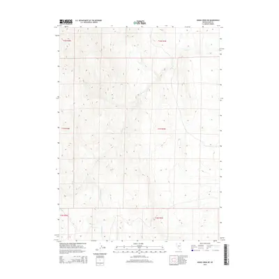
2015 Map of Hanks Creek NE
USGS Topo · Published 2015About this map
Hanks Creek and its seasonal drainage network define this high-altitude corner of Elko County, Nevada. The terrain is structured around the hydrological confluence of S Fork Hanks Creek, Conners Creek, and the topographic depression of Union Spring Draw. This 2015 survey reveals a landscape almost entirely defined by its hydrography and the Public Land Survey System grid, with large sections of township and range boundaries such as t41n r59e and t42n r58e clearly delineated. The lack of modern road infrastructure or named settlements highlights the area's preservation as an open rangeland or wilderness area, where water sources are the primary landmarks for navigation and land management.
Find a feature on this map
10 named features on this map. Tap any name to fly to it.
Don’t see what you’re looking for? This feature index may not catch every label — zoom into the map to look around manually.
Map Details
Editions of this 2015 Hanks Creek NE Map
This is the sole edition of this map. No revisions or reprints were ever made.
Other maps of this area

1955 · Wells
USGS Topo · 1:250,000

1958 · Wells
USGS Topo · 1:250,000

1961 · Wells
USGS Topo · 1:250,000

1967 · Hanks Creek SW
USGS Topo · 1:24,000

1967 · Black Butte SW
USGS Topo · 1:24,000

1967 · Hot Springs Creek
USGS Topo · 1:24,000

1967 · Stag Mountain
USGS Topo · 1:24,000

1967 · Buena Vista Ranch
USGS Topo · 1:24,000

1967 · Hanks Creek NE
USGS Topo · 1:24,000

1968 · Charleston Reservoir
USGS Topo · 1:24,000