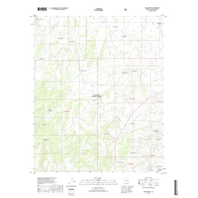
2018 Map of Hanks Draw
USGS Topo · Published 2018About this map
Sitgreaves National Forest encompasses the high country of the Mogollon Plateau, where a complex network of canyons and draws defines the hydrology of the region. The landscape is marked by numerous stock-raising improvements, including Clay Tank, Mud Tank, and the Ellsworth Trick Tank, indicating a history of high-altitude ranching and water management. Dramatic topographic relief is found along the Wildcat Canyon and the Black Canyon, while smaller drainages like Potato Field Draw and Saloon Canyon suggest localized agricultural or historical activities. Little Nelson Lake and Wildcat Spring provide vital permanent water sources in this dry, timbered environment, which is traversed by the modern corridor of highway 260 as it skirts Stermer Ridge.
Find a feature on this map
47 named features on this map. Tap any name to fly to it.
Don’t see what you’re looking for? This feature index may not catch every label — zoom into the map to look around manually.
Map Details
Editions of this 2018 Hanks Draw Map
This is the sole edition of this map. No revisions or reprints were ever made.
Other maps of this area

1886 · Holbrook
USGS Topo · 1:250,000

1893 · Holbrook
USGS Topo · 1:250,000

1954 · Holbrook
USGS Topo · 1:250,000

1957 · Holbrook
USGS Topo · 1:250,000

1958 · Holbrook
USGS Topo · 1:250,000

1960 · Holbrook
USGS Topo · 1:250,000

1961 · Woods Canyon
USGS Topo · 1:62,500

1961 · Heber
USGS Topo · 1:62,500

1965 · Chevelon Crossing
USGS Topo · 1:24,000

1970 · Red Knoll
USGS Topo · 1:24,000