
1965 Map of Chevelon Crossing
USGS Topo · Published 1967About this map
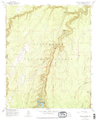
Sitgreaves National Forest dominates this mid-1960s study, where the deep incisions of West Chevelon Canyon and Chevelon Canyon meet. The map documents a specialized high-country water management system, centered on the recently completed Chevelon Canyon Dam and Chevelon Canyon Lake. This infrastructure supported the remote recreational and agricultural needs of the region, as evidenced by several livestock watering points like Trick Tank and Wagon Draw Tank.
Find a feature on this map
22 named features on this map. Tap any name to fly to it.
Don’t see what you’re looking for? This feature index may not catch every label — zoom into the map to look around manually.
Map Details
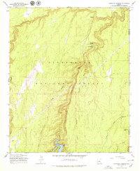
Editions of this 1965 Chevelon Crossing Map
3 editions found
Other maps of this area

1886 · Holbrook
USGS Topo · 1:250,000

1893 · Holbrook
USGS Topo · 1:250,000

1954 · Holbrook
USGS Topo · 1:250,000

1957 · Holbrook
USGS Topo · 1:250,000

1958 · Holbrook
USGS Topo · 1:250,000

1960 · Holbrook
USGS Topo · 1:250,000

1961 · Woods Canyon
USGS Topo · 1:62,500

1961 · Heber
USGS Topo · 1:62,500
1965 · Grama Draw
USGS Topo · 1:24,000
1970 · Hamilton Crossing
USGS Topo · 1:24,000